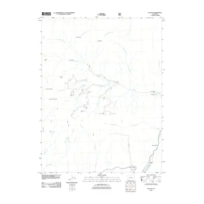
2011 Map of Placita
USGS Topo · Published 2011About this map
Coal Basin and the high mountain drainages surrounding the Crystal River define this part of Pitkin County in 2011. The map documents a specialized industrial landscape, showing numerous named mining sites including the Coal Basin Mine, Dutch Creek Mine, and L.S. Wood Mine situated along the steep slopes of Huntsman Ridge. Transportation through these high elevations is concentrated along Coal Basin Rd and the Placita River Road, which skirts the settlement at Placita.
Find a feature on this map
32 named features on this map. Tap any name to fly to it.
Don’t see what you’re looking for? This feature index may not catch every label — zoom into the map to look around manually.
Map Details
Editions of this 2011 Placita Map
This is the sole edition of this map. No revisions or reprints were ever made.
Other maps of this area
1957 · Leadville
USGS Topo · 1:250,000
1959 · Leadville
USGS Topo · 1:250,000
1960 · Leadville
USGS Topo · 1:250,000
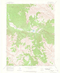
1960 · Marble
USGS Topo · 1:24,000
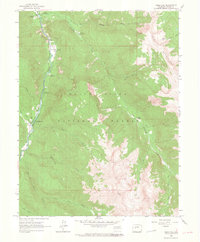
1960 · Redstone
USGS Topo · 1:24,000
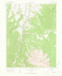
1961 · Mount Sopris
USGS Topo · 1:24,000
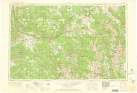
1962 · Leadville
USGS Topo · 1:250,000
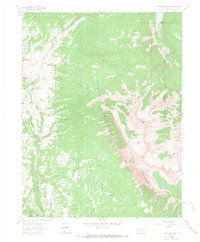
1963 · Chair Mountain
USGS Topo · 1:24,000
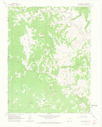
1963 · Bull Mountain
USGS Topo · 1:24,000
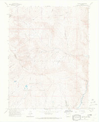
1963 · Placita
USGS Topo · 1:24,000