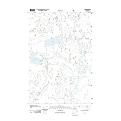
2011 Map of Plain
USGS Topo · Published 2011About this map
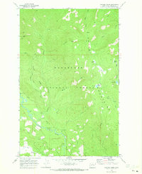
The Chiwawa River and Wenatchee River converge in this mountain valley near the small community of Plain. The landscape is defined by the proximity of major water bodies like Fish Lake and the eastern edge of Lake Wenatchee, which serve as focal points for both aviation and outdoor recreation. The area's infrastructure reflects this, featuring both the Lake Wenatchee State Airport and the Pearly Gates Ranch Airport, alongside numerous seasonal destinations such as the Nason Creek Campground and the Alder Creek Horse Camp.
Find a feature on this map
52 named features on this map. Tap any name to fly to it.
Don’t see what you’re looking for? This feature index may not catch every label — zoom into the map to look around manually.
Map Details
Editions of this 2011 Plain Map
This is the sole edition of this map. No revisions or reprints were ever made.
Other maps of this area

1901 · Chiwaukum
USGS Topo · 1:125,000

1904 · Chiwaukum
USGS Topo · 1:125,000

1957 · Wenatchee
USGS Topo · 1:250,000

1964 · Leavenworth
USGS Topo · 1:62,500

1965 · Chiwaukum Mts
USGS Topo · 1:62,500

1965 · Wenatchee Lake
USGS Topo · 1:62,500
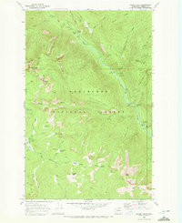
1968 · Silver Falls
USGS Topo · 1:24,000
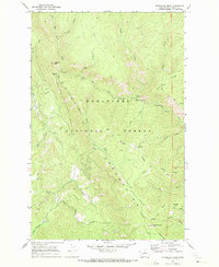
1968 · Sugarloaf Peak
USGS Topo · 1:24,000
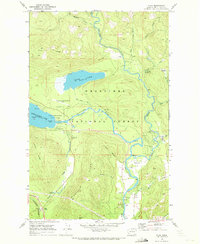
1968 · Plain
USGS Topo · 1:24,000
1968 · Chikamin Creek
USGS Topo · 1:24,000