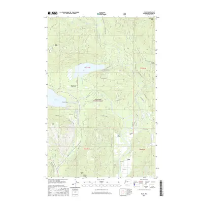
2017 Map of Plain
USGS Topo · Published 2017About this map
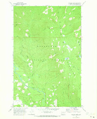
Plain and the surrounding river valleys are depicted here within the Wenatchee National Forest, where the Chiwawa River and Nason Creek converge into the Wenatchee River. This 2017 survey illustrates a landscape defined by significant topographic relief, from the lowlands of Schugart Flat to the high ground of Natapoc Mtn and Nason Ridge. The map shows a transition from the structured recreational and residential corridors along State Hwy 207 to the dense network of forest development roads that penetrate the mountains. Notable landmarks include the Lake Wenatchee State Airport situated near the eastern shore of Lake Wenatchee and the secluded Fish Lake. Local history is embedded in named features like Burgess Meadow and Pobst Canyon, while Emerald Island sits as a distinct point within the river's path.
Find a feature on this map
66 named features on this map. Tap any name to fly to it.
Don’t see what you’re looking for? This feature index may not catch every label — zoom into the map to look around manually.
Map Details
Editions of this 2017 Plain Map
This is the sole edition of this map. No revisions or reprints were ever made.
Other maps of this area

1901 · Chiwaukum
USGS Topo · 1:125,000

1904 · Chiwaukum
USGS Topo · 1:125,000

1957 · Wenatchee
USGS Topo · 1:250,000

1964 · Leavenworth
USGS Topo · 1:62,500

1965 · Chiwaukum Mts
USGS Topo · 1:62,500

1965 · Wenatchee Lake
USGS Topo · 1:62,500
1968 · Silver Falls
USGS Topo · 1:24,000
1968 · Sugarloaf Peak
USGS Topo · 1:24,000
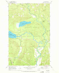
1968 · Plain
USGS Topo · 1:24,000
1968 · Chikamin Creek
USGS Topo · 1:24,000