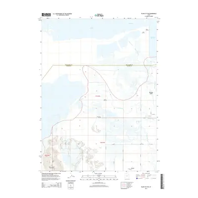
2014 Map of Plain City SW
USGS Topo · Published 2014About this map
The eastern shores of the Great Salt Lake and the wetlands of the Weber River delta dominate this 2014 survey. The landscape is defined by the transition from the marshy lowlands near The Horseshoe Bend and Little Weber Creek to the industrial and agricultural developments of Plain City and Reese. A notable concentration of sporting history is evident along the waterways, with the Pintail Gun Club, Ogden Gun Club, and Rainbow Gun Club situated near the edges of Willard Bay.
Find a feature on this map
26 named features on this map. Tap any name to fly to it.
Don’t see what you’re looking for? This feature index may not catch every label — zoom into the map to look around manually.
Map Details
Editions of this 2014 Plain City SW Map
This is the sole edition of this map. No revisions or reprints were ever made.
Other maps of this area

1954 · Whistler Canal
USGS Topo · 1:24,000

1954 · Brigham City
USGS Topo · 1:250,000

1955 · Plain City
USGS Topo · 1:24,000

1955 · Roy
USGS Topo · 1:24,000

1955 · Willard Spur
USGS Topo · 1:24,000

1955 · Mouth of Bear River
USGS Topo · 1:24,000

1955 · Plain City SW
USGS Topo · 1:24,000

1955 · Willard
USGS Topo · 1:24,000

1955 · Ogden Bay
USGS Topo · 1:24,000

1955 · Fremont Island
USGS Topo · 1:24,000