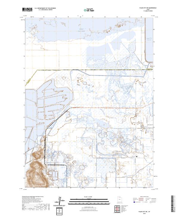
2023 Map of Plain City SW
USGS Topo · Published 2023About this map
Great Salt Lake dominates the northern horizon of this area along the Box Elder and Weber county line. The landscape is defined by the intricate intersection of natural waterways and managed irrigation, where Little Weber Creek and the marshy expanses of The Horseshoe Bend meet the South Branch Warren Canal and North Branch Warren Canal. To the southwest, the prominent elevation of Little Mtn rises above the surrounding flats, providing a stark geographic anchor against the wetlands.
Find a feature on this map
31 named features on this map. Tap any name to fly to it.
Don’t see what you’re looking for? This feature index may not catch every label — zoom into the map to look around manually.
Map Details
Editions of this 2023 Plain City SW Map
This is the sole edition of this map. No revisions or reprints were ever made.
Other maps of this area

1954 · Whistler Canal
USGS Topo · 1:24,000

1954 · Brigham City
USGS Topo · 1:250,000

1955 · Plain City
USGS Topo · 1:24,000

1955 · Roy
USGS Topo · 1:24,000

1955 · Willard Spur
USGS Topo · 1:24,000

1955 · Mouth of Bear River
USGS Topo · 1:24,000

1955 · Plain City SW
USGS Topo · 1:24,000

1955 · Willard
USGS Topo · 1:24,000

1955 · Ogden Bay
USGS Topo · 1:24,000

1955 · Fremont Island
USGS Topo · 1:24,000