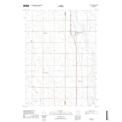
2018 Map of Plainfield
USGS Topo · Published 2018About this map
Plainfield serves as the primary community in this portion of Northeast Iowa, situated along the border of Butler and Bremer counties. The landscape is defined by the drainage systems of the Cedar River to the east and the Shell Rock River and Beaver Creek to the southwest, which shape the fertile agricultural plains. The town center features a Post Office and is surrounded by several rural burial grounds that speak to the long-standing settlement of the area, including Willow Lawn Cemetery and Spring Lake Cemetery.
Find a feature on this map
43 named features on this map. Tap any name to fly to it.
Don’t see what you’re looking for? This feature index may not catch every label — zoom into the map to look around manually.
Map Details
Editions of this 2018 Plainfield Map
This is the sole edition of this map. No revisions or reprints were ever made.
Other maps of this area

1954 · Waterloo
USGS Topo · 1:250,000

1955 · Waterloo
USGS Topo · 1:250,000

1963 · Waverly
USGS Topo · 1:24,000

1971 · Shell Rock
USGS Topo · 1:24,000

1971 · Bremer
USGS Topo · 1:24,000

1971 · Tripoli NW
USGS Topo · 1:24,000

1971 · Coster
USGS Topo · 1:24,000

1971 · Plainfield
USGS Topo · 1:24,000

1971 · Nashua NW
USGS Topo · 1:24,000

1971 · Clarksville
USGS Topo · 1:24,000