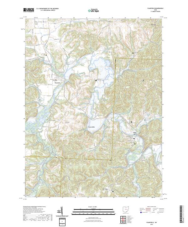
2023 Map of Plainfield
USGS Topo · Published 2023About this map
Wills Creek meanders through this portion of eastern Ohio, defining the physical and historical character of the area near Plainfield. The landscape is marked by the convergence of three counties—Coshocton, Guernsey, and Muskingum—where numerous family-named landmarks and rural cemeteries provide a wealth of data for genealogical research. Small settlements like Linton Mills and Birds Run are situated among a complex network of township roads and ridges, such as Roahrig Hill.
Find a feature on this map
89 named features on this map. Tap any name to fly to it.
Don’t see what you’re looking for? This feature index may not catch every label — zoom into the map to look around manually.
Map Details
Editions of this 2023 Plainfield Map
This is the sole edition of this map. No revisions or reprints were ever made.
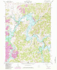
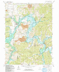
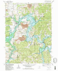
Historical Maps of Flat Ridge Through Time
4 maps found