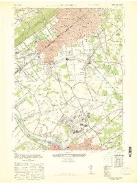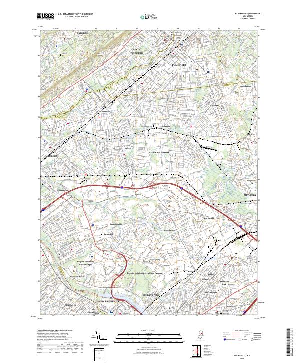
2023 Map of Plainfield
USGS Topo · Published 2023About this map
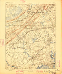
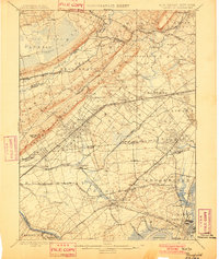
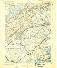
First Watchung Mountain rises along the northwestern edge of this central New Jersey landscape, giving way to a densely developed corridor where the boundaries of Somerset, Union, and Middlesex Counties converge. The industrial and educational heritage of the region is evident in the sprawling grounds of Rutgers University-Busch Campus and Rutgers University-Livingston Campus, alongside historic settlements like Samptown and Dunellen. The southern portion is defined by the Raritan River and the legacy of early transportation, notably the Delaware and Raritan Canal. This survey captures a modern suburban environment that still retains deep historical markers, from the Holy Redeemer Cem to the Lake Nelson Memorial Park. The network of waterways including Green Brook and Ambrose Brook continues to influence the layout of communities such as South Plainfield and North Plainfield.
Find a feature on this map
70 named features on this map. Tap any name to fly to it.
Don’t see what you’re looking for? This feature index may not catch every label — zoom into the map to look around manually.
Map Details
Editions of this 2023 Plainfield Map
This is the sole edition of this map. No revisions or reprints were ever made.
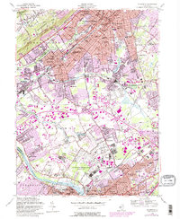
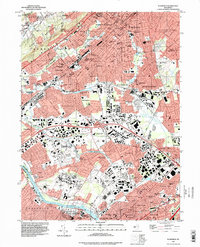
Historical Maps of Metuchen Through Time
9 maps found