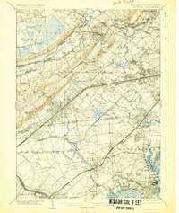
1905 Map of Plainfield
USGS Topo · Published 1925About this map
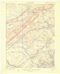
Washington Rock anchors the western ridge of the Watchung Mountains, overlooking a landscape defined by rapid suburban expansion and an intricate web of rail lines at the turn of the century. This 1905 revision captures the transition of rural townships into commuter hubs, with the Central Railroad of New Jersey and the Delaware Lackawanna and Western RR carving paths through Scotch Plains and Murray Hill. While the interior remains largely undeveloped around the Great Swamp and Dismal Swamp, the corridor between Springfield and South Orange shows established residential clusters like Short Hills and Wyoming. The map also details the industrial and maritime activity along the Raritan River near Perth Amboy, including Florida Landing. These layers of infrastructure—from family-named settlements like Headleytown to early sporting grounds at Baltusrol—reveal a region poised for the industrial growth that would soon dominate the New Jersey interior.
Find a feature on this map
141 named features on this map. Tap any name to fly to it.
Don’t see what you’re looking for? This feature index may not catch every label — zoom into the map to look around manually.
Map Details
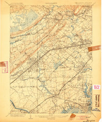
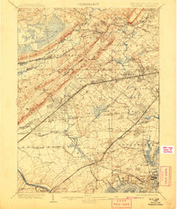
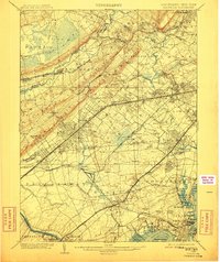
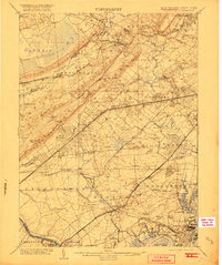
Editions of this 1905 Plainfield Map
6 editions found
Other maps of this area

1888 · Plainfield
USGS Topo · 1:62,500

1888 · Morristown
USGS Topo · 1:62,500

1888 · New Brunswick
USGS Topo · 1:62,500

1888 · Princeton
USGS Topo · 1:62,500

1888 · Lake Hopatcong
USGS Topo · 1:62,500

1888 · Paterson
USGS Topo · 1:62,500

1888 · Sandy Hook
USGS Topo · 1:62,500

1891 · Somerville
USGS Topo · 1:62,500

1892 · Paterson
USGS Topo · 1:62,500

1893 · New Brunswick
USGS Topo · 1:62,500