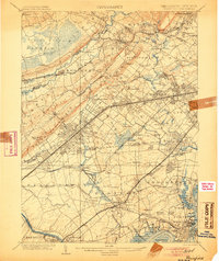
1905 Map of Plainfield
USGS Topo · Published 1905About this map
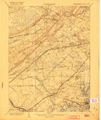
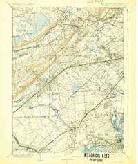
The Great Swamp and the curving Passaic River dominate the northwestern landscape of this turn-of-the-century New Jersey corridor. The map captures an era of rapid suburbanization and industrial growth, where established villages like New Providence and Springfield are being connected by an intricate web of rail lines. Major transit corridors including the Delaware Lackawanna and Western Railroad and the Lehigh Valley Railroad cut across the plain, driving development in places like Murray Hill and Baltusrol.
Find a feature on this map
158 named features on this map. Tap any name to fly to it.
Don’t see what you’re looking for? This feature index may not catch every label — zoom into the map to look around manually.
Map Details
Editions of this 1905 Plainfield Map
6 editions found
Other maps of this area

1888 · Plainfield
USGS Topo · 1:62,500

1888 · Morristown
USGS Topo · 1:62,500

1888 · New Brunswick
USGS Topo · 1:62,500

1888 · Princeton
USGS Topo · 1:62,500

1888 · Lake Hopatcong
USGS Topo · 1:62,500

1888 · Paterson
USGS Topo · 1:62,500

1888 · Sandy Hook
USGS Topo · 1:62,500

1891 · Somerville
USGS Topo · 1:62,500

1892 · Paterson
USGS Topo · 1:62,500

1893 · New Brunswick
USGS Topo · 1:62,500