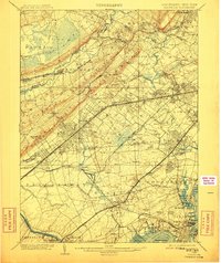
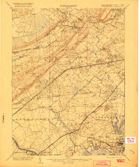
1905 Map of Plainfield
USGS Topo · Published 1911About this map
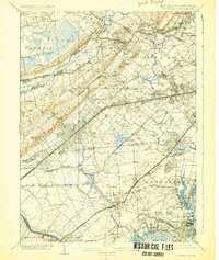
The Great Swamp and the dense network of the Passaic River dominate the northern reaches of this turn-of-the-century landscape, illustrating the complex hydrology before modern suburban drainage. The area is defined by its rapid turn-of-the-century transition from agricultural hamlets to organized commuter towns, anchored by the intense rail activity of the Central Railroad of New Jersey and the Pennsylvania Railroad. Major transportation corridors converge near Plainfield, connecting established centers like Westfield and Cranford with smaller, now-integrated locales such as New Orange and Connecticut Farms.
Find a feature on this map
140 named features on this map. Tap any name to fly to it.
Don’t see what you’re looking for? This feature index may not catch every label — zoom into the map to look around manually.
Map Details
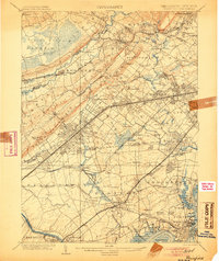
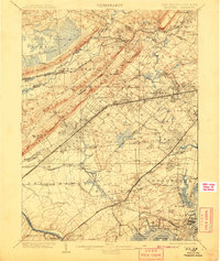
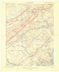
Editions of this 1905 Plainfield Map
6 editions found
Other maps of this area

1888 · Plainfield
USGS Topo · 1:62,500

1888 · Morristown
USGS Topo · 1:62,500

1888 · New Brunswick
USGS Topo · 1:62,500

1888 · Princeton
USGS Topo · 1:62,500

1888 · Lake Hopatcong
USGS Topo · 1:62,500

1888 · Paterson
USGS Topo · 1:62,500

1888 · Sandy Hook
USGS Topo · 1:62,500

1891 · Somerville
USGS Topo · 1:62,500

1892 · Paterson
USGS Topo · 1:62,500

1893 · New Brunswick
USGS Topo · 1:62,500