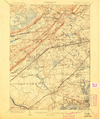
1905 Map of Plainfield
USGS Topo · Published 1908About this map
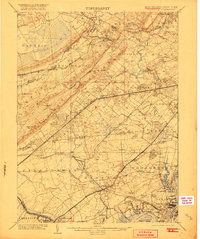
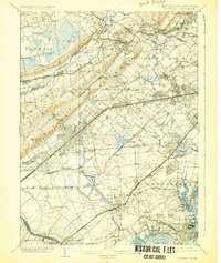
The Watchung Mountains form a dramatic backdrop for the industrial and residential corridors of North-Central New Jersey at the turn of the century. This survey illustrates the sharp contrast between the dense development in South Orange, Cranford, and Plainfield and the preserved wildness of the Great Swamp to the west. The ridges of First Mountain and Second Mountain dictate the flow of early transport, with the Central Railroad of New Jersey and the Delaware Lackawanna and Western RR carving paths through gaps in the terrain.
Find a feature on this map
150 named features on this map. Tap any name to fly to it.
Don’t see what you’re looking for? This feature index may not catch every label — zoom into the map to look around manually.
Map Details
Editions of this 1905 Plainfield Map
6 editions found
Other maps of this area

1888 · Plainfield
USGS Topo · 1:62,500

1888 · Morristown
USGS Topo · 1:62,500

1888 · New Brunswick
USGS Topo · 1:62,500

1888 · Princeton
USGS Topo · 1:62,500

1888 · Lake Hopatcong
USGS Topo · 1:62,500

1888 · Paterson
USGS Topo · 1:62,500

1888 · Sandy Hook
USGS Topo · 1:62,500

1891 · Somerville
USGS Topo · 1:62,500

1892 · Paterson
USGS Topo · 1:62,500

1893 · New Brunswick
USGS Topo · 1:62,500