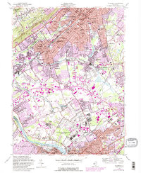
1955 Map of Plainfield
USGS Topo · Published 1982About this map
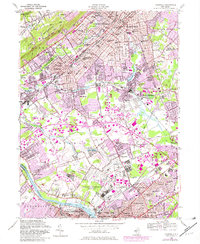
Watchung Mountain and its ridges define the northern landscape of this mid-century survey, creating a dramatic backdrop for the densely settled corridor of North Plainfield, Plainfield, and Dunellen. This area shows the intensive development characteristic of the post-war era, with the expansion of residential neighborhoods surrounding institutional hubs like Muhlenberg Hospital and the Plainfield Country Club. To the south, the massive US Military Reservation Camp Kilmer and the sprawling campus of Rutgers University dominate the terrain leading toward the Raritan River.
Find a feature on this map
81 named features on this map. Tap any name to fly to it.
Don’t see what you’re looking for? This feature index may not catch every label — zoom into the map to look around manually.
Map Details
Editions of this 1955 Plainfield Map
5 editions found
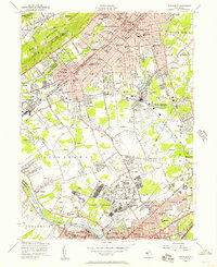
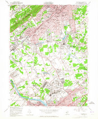
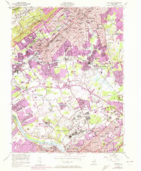
Other maps of this area

1888 · Plainfield
USGS Topo · 1:62,500

1888 · New Brunswick
USGS Topo · 1:62,500

1888 · Princeton
USGS Topo · 1:62,500

1891 · Somerville
USGS Topo · 1:62,500

1893 · New Brunswick
USGS Topo · 1:62,500

1893 · Plainfield
USGS Topo · 1:62,500

1893 · Somerville
USGS Topo · 1:62,500

1894 · Princeton
USGS Topo · 1:62,500

1898 · Plainfield
USGS Topo · 1:62,500

1898 · Somerville
USGS Topo · 1:62,500