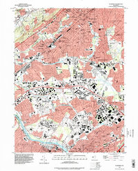
1995 Map of Plainfield
USGS Topo · Published 1998About this map
Watchung Mountain and First Watchung Mountain form a prominent ridge overlooking a densely developed corridor where North Plainfield, Plainfield, and Dunellen converge. This 1995 survey, based on 1942 topography, captures the mature industrial and residential landscape of North-Central New Jersey. The transportation network is a central theme, showing the Pennsylvania RR and Lehigh Valley RR traversing the territory alongside the New Jersey Turnpike.
Find a feature on this map
91 named features on this map. Tap any name to fly to it.
Don’t see what you’re looking for? This feature index may not catch every label — zoom into the map to look around manually.
Map Details
Editions of this 1995 Plainfield Map
This is the sole edition of this map. No revisions or reprints were ever made.
Other maps of this area

1888 · Plainfield
USGS Topo · 1:62,500

1888 · New Brunswick
USGS Topo · 1:62,500

1888 · Princeton
USGS Topo · 1:62,500

1891 · Somerville
USGS Topo · 1:62,500

1893 · New Brunswick
USGS Topo · 1:62,500

1893 · Plainfield
USGS Topo · 1:62,500

1893 · Somerville
USGS Topo · 1:62,500

1894 · Princeton
USGS Topo · 1:62,500

1898 · Plainfield
USGS Topo · 1:62,500

1898 · Somerville
USGS Topo · 1:62,500