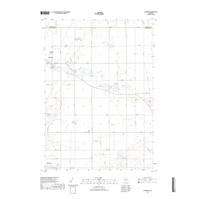
2018 Map of Plainfield
USGS Topo · Published 2018About this map
The village of Plainfield anchors the western edge of this central Wisconsin landscape, characterized by a high concentration of glacial kettle lakes and small cemeteries. This 2018 survey reveals a terrain defined by water, from larger basins like Lake Huron and Long Lake to smaller features such as Pumpkin Seed Lake and Fiddle Lake. The grid-like arrangement of roads, including Apache Rd and Aspen Ave, cuts through a predominantly agricultural and rural residential area, connecting the larger settlements with the surrounding countryside.
Find a feature on this map
55 named features on this map. Tap any name to fly to it.
Don’t see what you’re looking for? This feature index may not catch every label — zoom into the map to look around manually.
Map Details
Editions of this 2018 Plainfield Map
This is the sole edition of this map. No revisions or reprints were ever made.
Other maps of this area

1955 · Green Bay
USGS Topo · 1:250,000

1957 · Amherst
USGS Topo · 1:48,000

1957 · Whiting
USGS Topo · 1:48,000

1958 · Coloma
USGS Topo · 1:48,000

1959 · Wautoma
USGS Topo · 1:48,000

1968 · Coloma
USGS Topo · 1:24,000

1968 · Richford
USGS Topo · 1:24,000

1968 · Plainfield
USGS Topo · 1:24,000
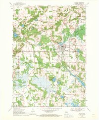
1968 · Wautoma
USGS Topo · 1:24,000

1968 · Hancock
USGS Topo · 1:24,000