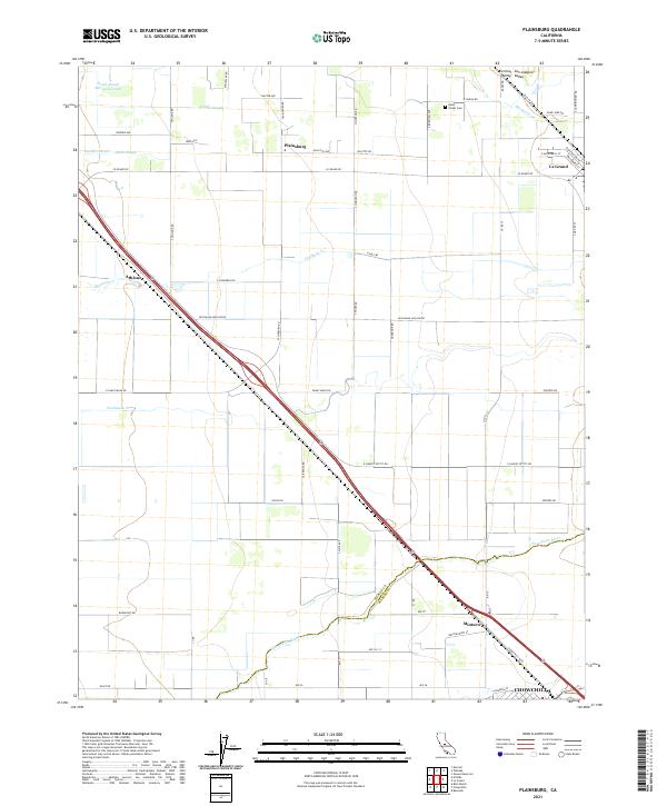
2021 Map of Plainsburg
USGS Topo · Published 2021About this map
Central San Joaquin Valley agriculture and transit corridors define this landscape at the boundary of Merced and Madera counties. The map captures a grid of rural roads and water management features including the Russell Lateral and South Slough, which support the region's long-standing farming tradition. The Santa Fe Ave corridor serves as a primary spine through the valley, connecting the established communities of Le Grand and Chowchilla. Smaller historical points of interest are preserved here, such as the Helm - Turner Cem and the small settlement of Plainsburg. Local drainage is dominated by the westward flow of the Chowchilla River, Deadman Cr, and Mariposa Cr, which bisect the valley floor. The placement of Athlone and Minturn along the main transit routes reflects the historical importance of rail-aligned shipping points for the surrounding agricultural tracts.
Find a feature on this map
69 named features on this map. Tap any name to fly to it.
Don’t see what you’re looking for? This feature index may not catch every label — zoom into the map to look around manually.
Map Details
Editions of this 2021 Plainsburg Map
This is the sole edition of this map. No revisions or reprints were ever made.
Other maps of this area

1914 · Merced
USGS Topo · 1:31,680

1915 · Owens Creek
USGS Topo · 1:31,680

1916 · Berenda
USGS Topo · 1:31,680

1917 · Merced
USGS Topo · 1:31,680

1918 · Bliss Ranch
USGS Topo · 1:31,680

1918 · Owens Creek
USGS Topo · 1:31,680

1918 · Lingard
USGS Topo · 1:31,680

1918 · Chowchilla
USGS Topo · 1:31,680

1918 · Berenda
USGS Topo · 1:31,680

1918 · Planada
USGS Topo · 1:31,680