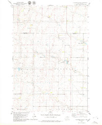
1978 Map of Plainview Colony
USGS Topo · Published 1979About this map
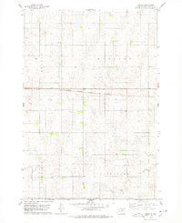
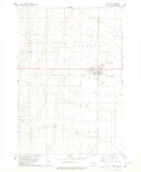
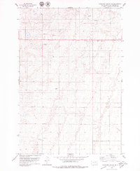
Plainview Colony stands as the primary communal settlement in this northern plains landscape, situated near the boundary between McPherson and Edmunds Counties. The terrain is defined by glacial depressions and small water bodies, most notably Rosette Lake, which is surrounded by a designated State Game Protection Area. This late-1970s survey illustrates a landscape of large-scale agricultural townships including Adrian, Rosette, Huntley, and Ipswich. Local infrastructure is sparse but functional, marked by a Radio Tower and several scattered Gravel Pits. For genealogists and local historians, the inclusion of the Cem near the colony provides a specific point of interest for tracing early families and communal history in this portion of South Dakota.
Find a feature on this map
12 named features on this map. Tap any name to fly to it.
Don’t see what you’re looking for? This feature index may not catch every label — zoom into the map to look around manually.
Map Details
Editions of this 1978 Plainview Colony Map
This is the sole edition of this map. No revisions or reprints were ever made.
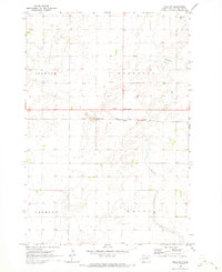
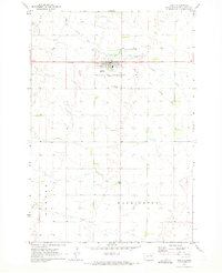
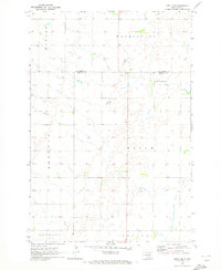
Other maps of this area

1899 · Ellendale
USGS Topo · 1:125,000

1899 · Northville
USGS Topo · 1:125,000

1954 · Aberdeen
USGS Topo · 1:250,000

1956 · Aberdeen
USGS Topo · 1:250,000
1970 · Mina NW
USGS Topo · 1:24,000
1970 · Leola
USGS Topo · 1:24,000
1970 · Leola SW
USGS Topo · 1:24,000
1978 · Beebe
USGS Topo · 1:24,000
1978 · Ipswich
USGS Topo · 1:24,000
1978 · Plainview Colony NE
USGS Topo · 1:24,000