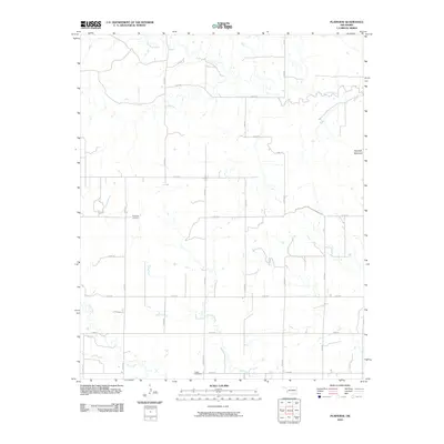
2010 Map of Plainview
USGS Topo · Published 2010About this map
Plainview Cemetery and Jester Cemetery anchor this rural Oklahoma landscape, providing vital markers for genealogists and local historians tracing the settlement patterns of western Greer County. The terrain is defined by the prominent Haystack Mountain in the northeast, which overlooks a network of watercourses including Haystack Creek, Station Creek, and Deer Creek. The area is organized around a strict section-line road grid, where routes like n1830 RD and e1370 RD facilitate movement through this agricultural region. This survey captures the enduring rural character of the southern plains at the start of the twenty-first century, preserving the exact locations of family-history landmarks within a landscape shaped by both the persistent grid of the land survey system and the natural meandering of its creek beds.
Find a feature on this map
23 named features on this map. Tap any name to fly to it.
Don’t see what you’re looking for? This feature index may not catch every label — zoom into the map to look around manually.
Map Details
Editions of this 2010 Plainview Map
This is the sole edition of this map. No revisions or reprints were ever made.
Other maps of this area

1955 · Lawton
USGS Topo · 1:250,000

1955 · Clinton
USGS Topo · 1:250,000

1957 · Clinton
USGS Topo · 1:250,000

1961 · Willow
USGS Topo · 1:62,500

1961 · Erick
USGS Topo · 1:62,500

1971 · Mangum North
USGS Topo · 1:24,000

1971 · Vinson
USGS Topo · 1:24,000

1971 · Reed
USGS Topo · 1:24,000

1985 · Elk City
USGS Topo · 1:100,000

1985 · Altus
USGS Topo · 1:100,000