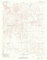
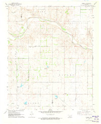
1971 Map of Vinson
USGS Topo · Published 1973About this map
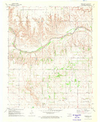
Vinson serves as the primary settlement in this southwestern Oklahoma landscape, positioned near the boundary of the Francis and Jester regions. The terrain is deeply defined by the drainage network of the Elm Fork Red River, where numerous seasonal and perennial streams like Hackberry Creek, Grape Creek, and Sulphur Creek carve through the plains. This 1970s survey captures the rural infrastructure of Harmon County, including a network of local roads and a significant Pipeline corridor crossing the southern sections.
Find a feature on this map
16 named features on this map. Tap any name to fly to it.
Don’t see what you’re looking for? This feature index may not catch every label — zoom into the map to look around manually.
Map Details
Editions of this 1971 Vinson Map
2 editions found
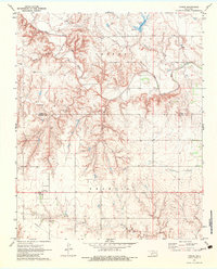
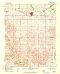
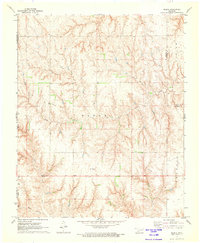
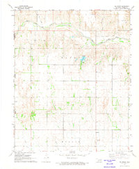
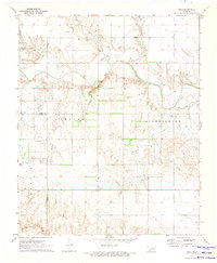
Other maps of this area

1955 · Lawton
USGS Topo · 1:250,000

1955 · Clinton
USGS Topo · 1:250,000

1957 · Clinton
USGS Topo · 1:250,000
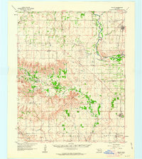
1961 · Willow
USGS Topo · 1:62,500
1961 · Erick
USGS Topo · 1:62,500
1971 · Russell
USGS Topo · 1:24,000
1971 · Madge
USGS Topo · 1:24,000
1971 · Mc Knight
USGS Topo · 1:24,000
1971 · Reed
USGS Topo · 1:24,000
1971 · Shrewder
USGS Topo · 1:24,000