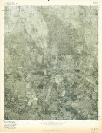
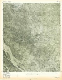
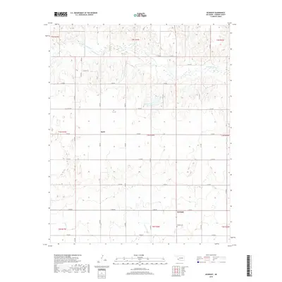
1971 Map of Vinson
USGS Topo · Published 1983About this map
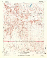
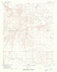
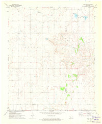
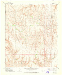
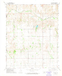
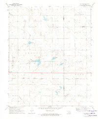
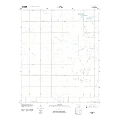
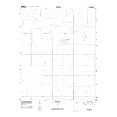
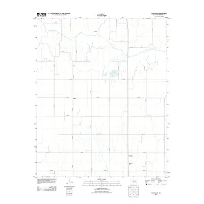
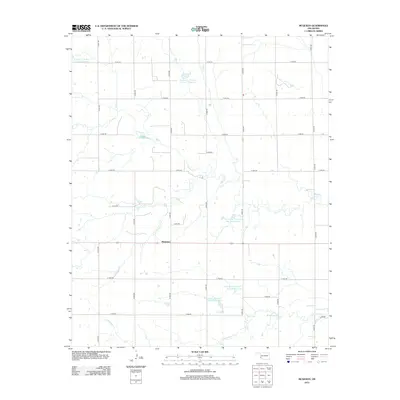
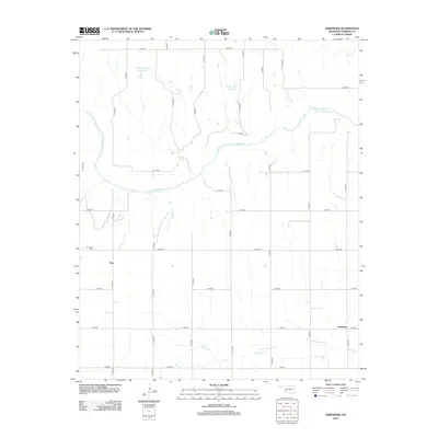
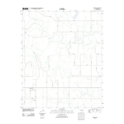
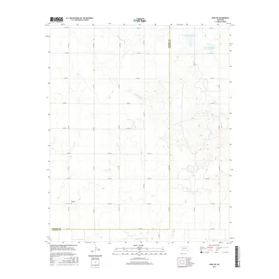
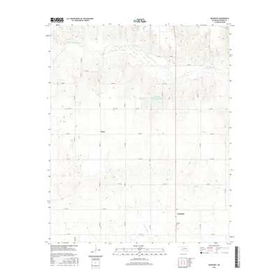
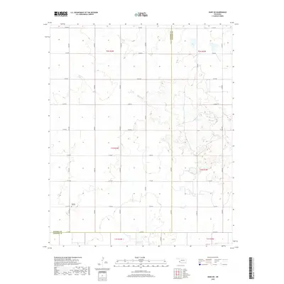
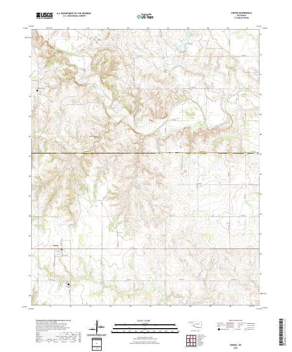
Vinson serves as the primary settlement hub in this southwestern Oklahoma landscape, positioned near the boundary between Greer and Harmon Counties. The geography is defined by the deep incisions of the Elm Fork Red River and its numerous tributaries, including Hackberry Creek and Grape Creek, which carve through the high plains. This 1971 field-checked survey reveals a rural economy of dispersed farmsteads and specialized land use, evidenced by the Gravel Pit near Root Creek and the managed waters of Doe Hollis Lake. Local heritage is anchored by quiet landmarks like Hackberry Cem and Cave Creek Cem, while the broad upland areas of Jester and Francis suggest the expansive grazing or agricultural tracts characteristic of the region. A network of unimproved roads and section lines connects these remote outposts, tracing the rugged breaks and creek bottoms that dominate the terrain.
Find a feature on this map
14 named features on this map. Tap any name to fly to it.
Don’t see what you’re looking for? This feature index may not catch every label — zoom into the map to look around manually.
Map Details
Editions of this 1971 Vinson Map
2 editions found
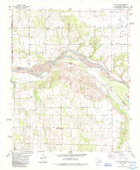
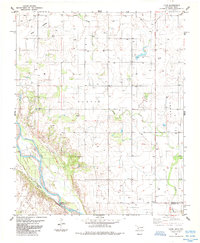
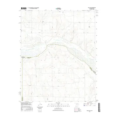
Historical Maps of Vinson Through Time
51 maps found
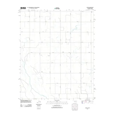
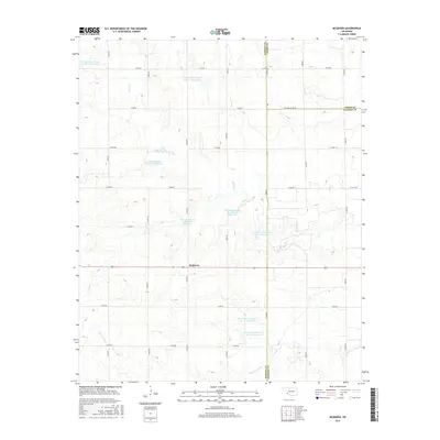
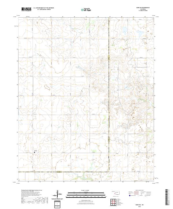
1971 Duke SW
Harmon County, OK
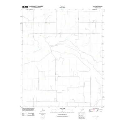
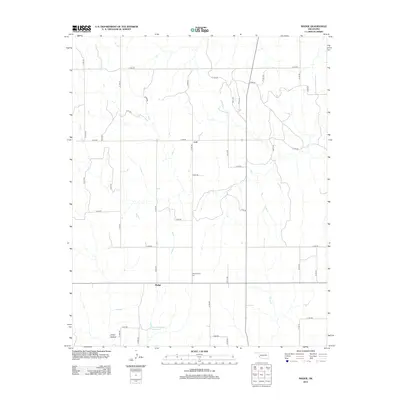
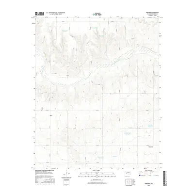
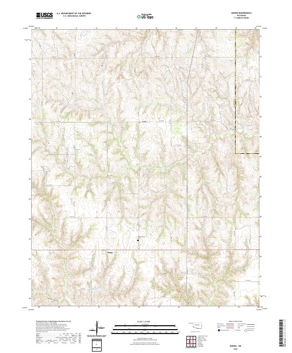
1971 Madge
Harmon County, OK
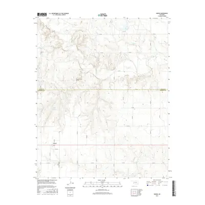
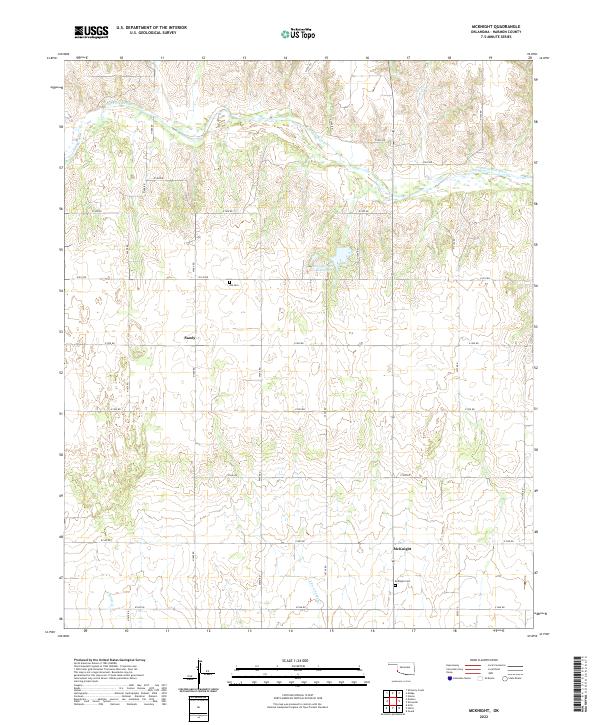
1971 Mc Knight
Harmon County, OK
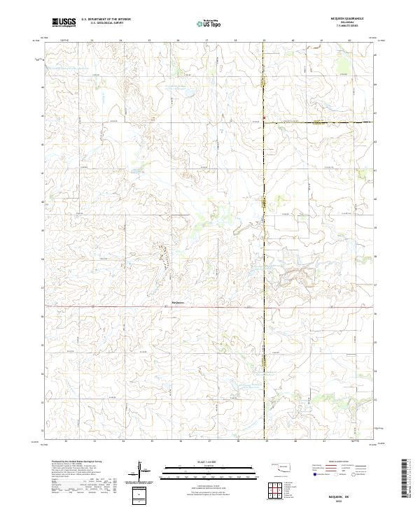
1971 Mc Queen
Harmon County, OK
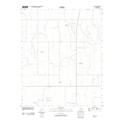
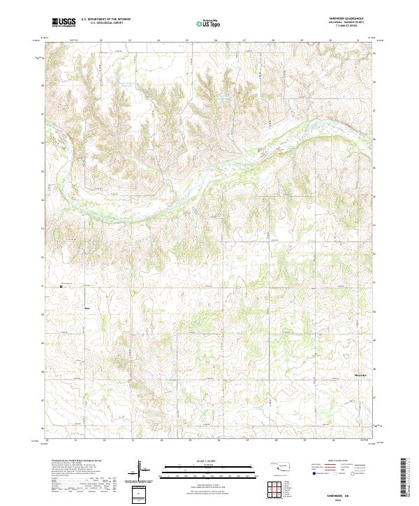
1971 Shrewder
Harmon County, OK
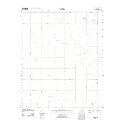
1971 Vinson
Harmon County, OK
1975 Hollis NE
Harmon County, OK
1975 Hollis NW
Harmon County, OK
1975 Hollis SE
Harmon County, OK
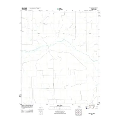
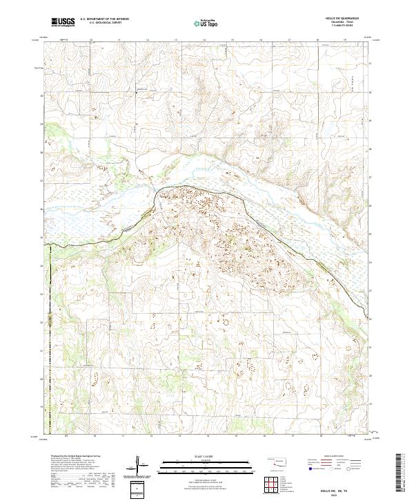
1985 Hollis SW
Harmon County, OK
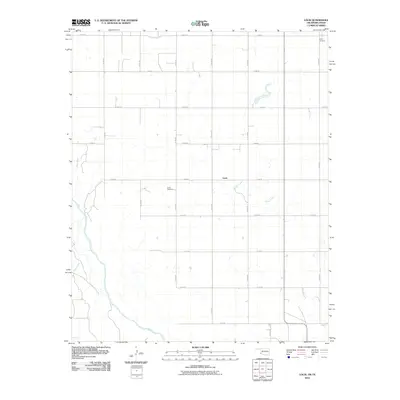
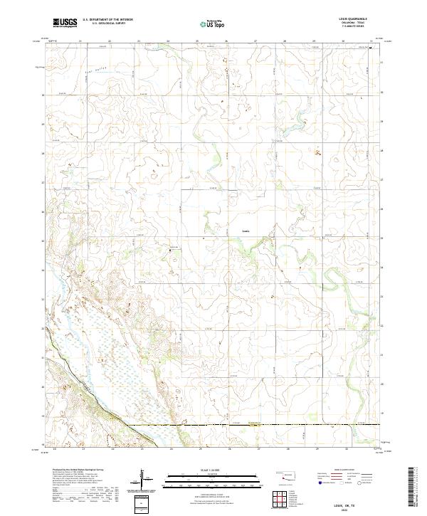
1985 Louis
Harmon County, OK
2010 Duke SW
Harmon County, OK
2010 Hollis SW
Harmon County, OK
2010 Louis
Harmon County, OK
2010 Madge
Harmon County, OK
2010 McKnight
Harmon County, OK
2010 McQueen
Harmon County, OK
2010 Shrewder
Harmon County, OK
2010 Vinson
Harmon County, OK
2012 Duke SW
Harmon County, OK
2012 Hollis SW
Harmon County, OK
2012 Louis
Harmon County, OK
2012 Madge
Harmon County, OK
2012 McKnight
Harmon County, OK
2012 McQueen
Harmon County, OK
2012 Shrewder
Harmon County, OK
2012 Vinson
Harmon County, OK
2016 Duke SW
Harmon County, OK
2016 Hollis SW
Harmon County, OK
2016 Louis
Harmon County, OK
2016 Madge
Harmon County, OK
2016 McKnight
Harmon County, OK
2016 McQueen
Harmon County, OK
2016 Shrewder
Harmon County, OK
2016 Vinson
Harmon County, OK
2018 Duke SW
Harmon County, OK
2018 Hollis SW
Harmon County, OK
2018 Louis
Harmon County, OK
2018 Madge
Harmon County, OK
2018 McKnight
Harmon County, OK
2018 McQueen
Harmon County, OK
2018 Shrewder
Harmon County, OK
2018 Vinson
Harmon County, OK
2022 Duke SW
Harmon County, OK
2022 Hollis SW
Harmon County, OK
2022 Louis
Harmon County, OK
2022 Madge
Harmon County, OK
2022 McKnight
Harmon County, OK
2022 McQueen
Harmon County, OK
2022 Shrewder
Harmon County, OK
2022 Vinson
Harmon County, OK