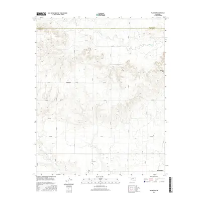
2016 Map of Plainview
USGS Topo · Published 2016About this map
Plainview and Jester serve as the primary focal points of this southwest Oklahoma landscape, situated just south of the Beckham Co Greer Co line. The map captures a largely agricultural and ranching environment defined by a grid of rural roads and the meandering courses of Haystack Cr and Station Cr. For genealogists and local historians, the inclusion of Plainview Cem and Jester Cem provides specific points for tracing family histories in these small communities. The terrain is marked by significant natural landmarks, most notably Haystack Mtn in the east, which rises above the surrounding drainage basins of Deer Cr. Further south, the settlement of Bloomington sits near the edge of the survey area, reflecting the sparse but steady distribution of population across the plains during the mid-2010s.
Find a feature on this map
27 named features on this map. Tap any name to fly to it.
Don’t see what you’re looking for? This feature index may not catch every label — zoom into the map to look around manually.
Map Details
Editions of this 2016 Plainview Map
This is the sole edition of this map. No revisions or reprints were ever made.
Other maps of this area

1955 · Lawton
USGS Topo · 1:250,000

1955 · Clinton
USGS Topo · 1:250,000

1957 · Clinton
USGS Topo · 1:250,000

1961 · Willow
USGS Topo · 1:62,500

1961 · Erick
USGS Topo · 1:62,500

1971 · Mangum North
USGS Topo · 1:24,000

1971 · Vinson
USGS Topo · 1:24,000

1971 · Reed
USGS Topo · 1:24,000

1985 · Elk City
USGS Topo · 1:100,000

1985 · Altus
USGS Topo · 1:100,000