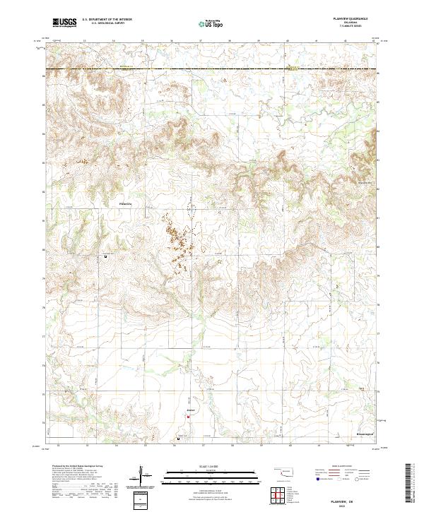
2022 Map of Plainview
USGS Topo · Published 2022About this map
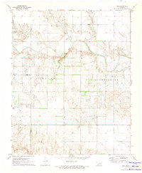
Plainview serves as a central point in this rural Greer County landscape, where the agricultural grid of Section-Line roads meets the irregular terrain of the western Oklahoma plains. The map illustrates a community defined by its proximity to local drainages like Haystack Cr and Station Cr, with the prominent rise of Haystack Mtn providing a distinct landmark in the northeastern portion of the quadrangle.
Find a feature on this map
25 named features on this map. Tap any name to fly to it.
Don’t see what you’re looking for? This feature index may not catch every label — zoom into the map to look around manually.
Map Details
Editions of this 2022 Plainview Map
This is the sole edition of this map. No revisions or reprints were ever made.
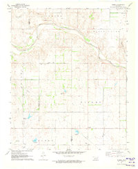
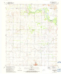
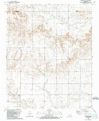
Historical Maps of Plainview Through Time
14 maps found
1971 Hester
Greer County, OK
1971 Mangum North
Greer County, OK
1971 Mangum South
Greer County, OK
1971 Reed
Greer County, OK
1971 Russell
Greer County, OK
1989 Lake Creek
Greer County, OK
1989 Plainview
Greer County, OK
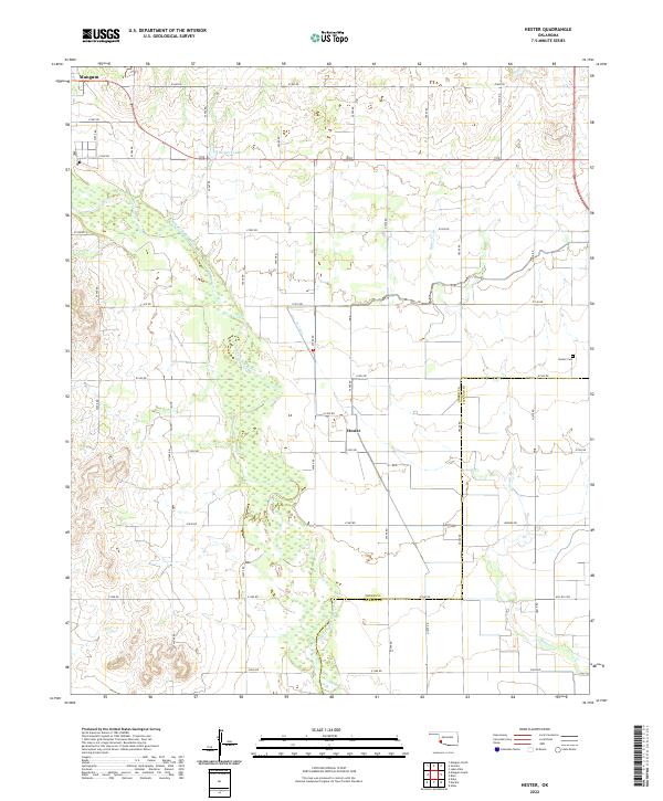
2022 Hester
Greer County, OK
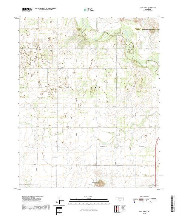
2022 Lake Creek
Greer County, OK
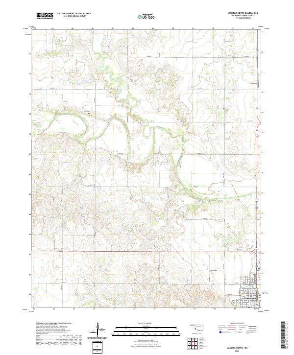
2022 Mangum North
Greer County, OK
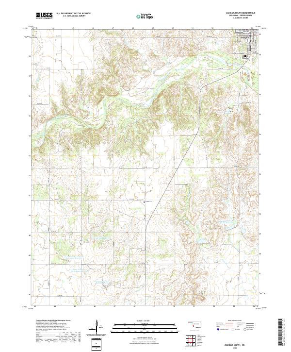
2022 Mangum South
Greer County, OK
2022 Plainview
Greer County, OK
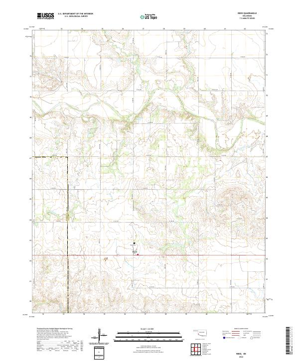
2022 Reed
Greer County, OK
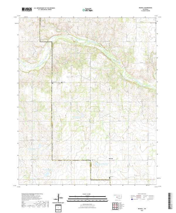
2022 Russell
Greer County, OK