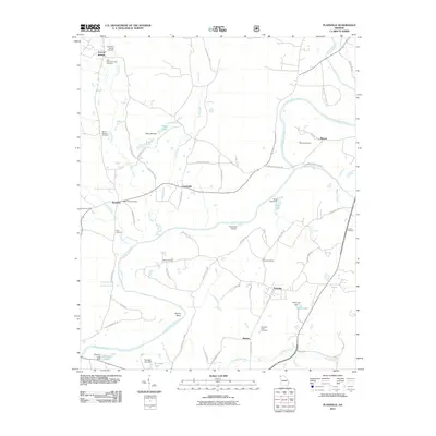
2011 Map of Plainville
USGS Topo · Published 2011About this map
The Oostanaula River winds through this Northwest Georgia landscape, defining the character of small communities like Plainville and Curryville. This 2011 survey reveals a territory marked by generational burial grounds, from the Old Everett Springs Cemetery and New Everett Springs Cemetery in the north to the Plainville Road Cemetery near the southern border. The river's influence is evident at Horton Bend and near the Riverside Airport, which sits on its banks.
Find a feature on this map
69 named features on this map. Tap any name to fly to it.
Don’t see what you’re looking for? This feature index may not catch every label — zoom into the map to look around manually.
Map Details
Editions of this 2011 Plainville Map
This is the sole edition of this map. No revisions or reprints were ever made.
Other maps of this area

1886 · Dalton
USGS Topo · 1:125,000

1886 · Ringgold
USGS Topo · 1:125,000

1886 · Rome
USGS Topo · 1:125,000

1890 · Cartersville
USGS Topo · 1:125,000

1891 · Cartersville
USGS Topo · 1:125,000

1892 · Ringgold
USGS Topo · 1:125,000

1892 · Dalton
USGS Topo · 1:125,000

1896 · Cartersville
USGS Topo · 1:125,000

1897 · Dalton
USGS Topo · 1:125,000

1898 · Rome
USGS Topo · 1:125,000