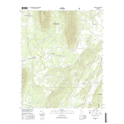
2017 Map of Plainville
USGS Topo · Published 2017About this map
The Oostanaula River meanders through this portion of Gordon County, defining a landscape where valley agriculture meets the forested slopes of the Chattahoochee National Forest. This 2017 topographic survey highlights the enduring rural character of settlements like Everett Springs, Curryville, and Plainville. The map is particularly useful for genealogical research, identifying numerous family and community burial sites such as the Old Everett Springs Cem, Reeves Cem, and Franklin Cem.
Find a feature on this map
101 named features on this map. Tap any name to fly to it.
Don’t see what you’re looking for? This feature index may not catch every label — zoom into the map to look around manually.
Map Details
Editions of this 2017 Plainville Map
This is the sole edition of this map. No revisions or reprints were ever made.
Other maps of this area

1886 · Dalton
USGS Topo · 1:125,000

1886 · Ringgold
USGS Topo · 1:125,000

1886 · Rome
USGS Topo · 1:125,000

1890 · Cartersville
USGS Topo · 1:125,000

1891 · Cartersville
USGS Topo · 1:125,000

1892 · Ringgold
USGS Topo · 1:125,000

1892 · Dalton
USGS Topo · 1:125,000

1896 · Cartersville
USGS Topo · 1:125,000

1897 · Dalton
USGS Topo · 1:125,000

1898 · Rome
USGS Topo · 1:125,000