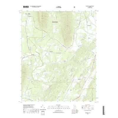
2020 Map of Plainville
USGS Topo · Published 2020About this map
The Oostanaula River carves a winding path through this corner of Northwest Georgia, defining the agricultural and residential patterns of Gordon and Floyd Counties. Several distinct rural settlements anchor the landscape, including Plainville, Curryville, and Everett Springs, each linked by a network of historic roads like the Roland Hayes Pkwy NW and Everett Springs Rd. The map is particularly notable for its density of family and community burial grounds, such as Plainville Road Cem, Franklin Cem, and Mount Vernon Cem, which offer significant value for genealogical research in this region.
Find a feature on this map
90 named features on this map. Tap any name to fly to it.
Don’t see what you’re looking for? This feature index may not catch every label — zoom into the map to look around manually.
Map Details
Editions of this 2020 Plainville Map
This is the sole edition of this map. No revisions or reprints were ever made.
Other maps of this area

1886 · Dalton
USGS Topo · 1:125,000

1886 · Ringgold
USGS Topo · 1:125,000

1886 · Rome
USGS Topo · 1:125,000

1890 · Cartersville
USGS Topo · 1:125,000

1891 · Cartersville
USGS Topo · 1:125,000

1892 · Ringgold
USGS Topo · 1:125,000

1892 · Dalton
USGS Topo · 1:125,000

1896 · Cartersville
USGS Topo · 1:125,000

1897 · Dalton
USGS Topo · 1:125,000

1898 · Rome
USGS Topo · 1:125,000