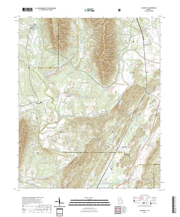
2024 Map of Plainville
USGS Topo · Published 2024About this map
The Oostanaula River winds through the borderlands of Floyd and Gordon counties, defining a landscape shaped by water and high ridges. Significant river crossings like Printup Ferry, Blalocks Ferry, and Johnson Ferry highlight the historical importance of the river as a transportation corridor between Plainville and Everett Springs. To the north, Horn Mtn and Calbeck Mtn rise within the Chattahoochee National Forest, while the valley floors are dotted with local landmarks including the Everett Springs Baptist Church and numerous family burial grounds such as Dodd Cem and Scott Cem. The settlement at Curryville and the landing at Moores Ferry reflect the area's rural character, where small communities grew near spring-fed creeks like Johns Creek and Rocky Creek. Small airfields such as the Riverside Airport near the riverbanks demonstrate the continued utility of the valley's flat sections.
Find a feature on this map
109 named features on this map. Tap any name to fly to it.
Don’t see what you’re looking for? This feature index may not catch every label — zoom into the map to look around manually.
Map Details
Editions of this 2024 Plainville Map
This is the sole edition of this map. No revisions or reprints were ever made.
Other maps of this area

1886 · Dalton
USGS Topo · 1:125,000

1886 · Ringgold
USGS Topo · 1:125,000

1886 · Rome
USGS Topo · 1:125,000

1890 · Cartersville
USGS Topo · 1:125,000

1891 · Cartersville
USGS Topo · 1:125,000

1892 · Ringgold
USGS Topo · 1:125,000

1892 · Dalton
USGS Topo · 1:125,000

1896 · Cartersville
USGS Topo · 1:125,000

1897 · Dalton
USGS Topo · 1:125,000

1898 · Rome
USGS Topo · 1:125,000