
Loading...
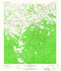
Loading map...1962 Map of Plantersville
USGS Topo · Published 1964About this map
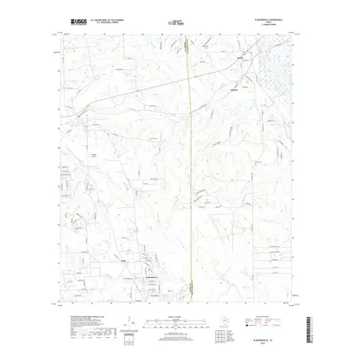
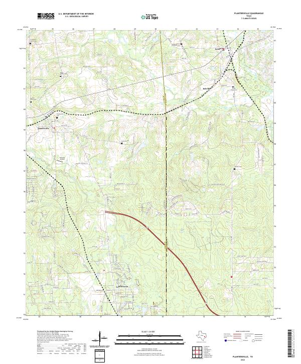
Plantersville stands at a significant junction of the Gulf Colorado and Santa Fe and the Missouri Pacific railroads, serving as a hub for the agricultural and timbered lands along the Grimes and Montgomery County line. The 1962 landscape is defined by its rural community structures, including St Marys Ch, Center Point Ch, and several scattered cemeteries like Shannon Cem and Rose Hill Cem.
Find a feature on this map
29 named features on this map. Tap any name to fly to it.
Don’t see what you’re looking for? This feature index may not catch every label — zoom into the map to look around manually.
Map Details
Date Portrayed1962
Date Published1964
PublisherU.S. Geological Survey
Map TypeTopographic
Scale1:24,000
Physical Dimensions23 x 26.9 inches
Editions of this 1962 Plantersville Map
2 editions found
Historical Maps of Todd Mission Through Time
6 maps found
Featured Locations
Source Details
SourceU.S. Geological Survey
CopyrightPublic Domain