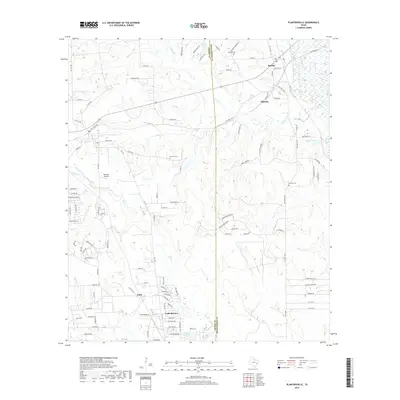
2019 Map of Plantersville
USGS Topo · Published 2019About this map
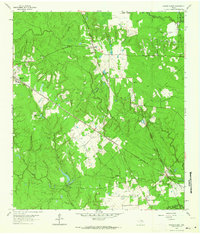
The boundary between Grimes and Montgomery Counties bisects this portion of the Texas piney woods and pastureland. The settlement of Todd Mission and the adjacent community of Todd anchor the southwestern quadrant, characterized by a network of residential roads branching off FM 1774. To the north and east, the landscape transitions into more dispersed rural holdings and water bodies like Sneed Lake and Lake Hollyhill. Historic family names and community foundations are preserved through the locations of Rose Hill Cem, Shannon Cem, and Griffith Cem, which are tucked away from the primary thoroughfares of Old HWY 105 W and N FM 1486. Drainage is defined by the winding paths of Mill Cr and Caney Cr, which cut through the undulating terrain near Dobbin and Bobville. A specialized landmark, Hammer Airfield, sits west of the county line, providing a distinct reference point for the region's localized infrastructure.
Find a feature on this map
104 named features on this map. Tap any name to fly to it.
Don’t see what you’re looking for? This feature index may not catch every label — zoom into the map to look around manually.
Map Details
Editions of this 2019 Plantersville Map
This is the sole edition of this map. No revisions or reprints were ever made.
Other maps of this area

1954 · Beaumont
USGS Topo · 1:250,000

1957 · Beaumont
USGS Topo · 1:250,000
1959 · Montgomery
USGS Topo · 1:24,000
1960 · Waller NW
USGS Topo · 1:24,000
1961 · Anderson
USGS Topo · 1:24,000
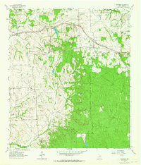
1961 · Stoneham
USGS Topo · 1:24,000
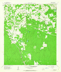
1962 · Keenan
USGS Topo · 1:24,000
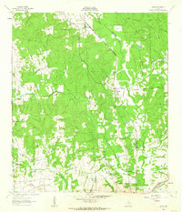
1962 · Dacus
USGS Topo · 1:24,000
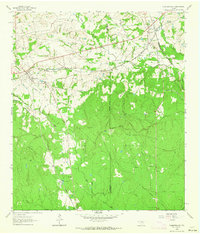
1962 · Plantersville
USGS Topo · 1:24,000
1962 · Magnolia East
USGS Topo · 1:24,000