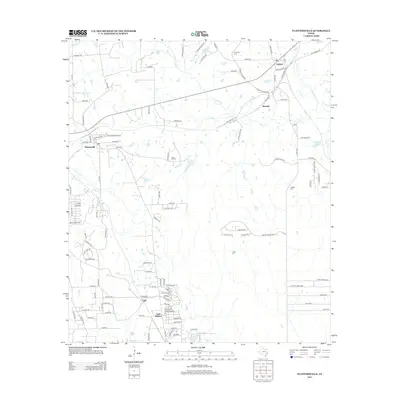
2013 Map of Plantersville
USGS Topo · Published 2013About this map
Todd Mission and the surrounding Grimes County landscape are captured here in a period of modern rural development. The area is defined by a dense network of local roads and creek drainage systems, including Mill Creek and Caney Creek. Several established communities like Plantersville, Bobville, and Dobbin serve as local hubs, connected by routes such as FM-1774 and Old Highway 105. Small water bodies like Dobbin Lake and Lake Hollyhill dot the terrain, reflecting the region's hydrology.
Find a feature on this map
113 named features on this map. Tap any name to fly to it.
Don’t see what you’re looking for? This feature index may not catch every label — zoom into the map to look around manually.
Map Details
Editions of this 2013 Plantersville Map
This is the sole edition of this map. No revisions or reprints were ever made.
Other maps of this area

1954 · Beaumont
USGS Topo · 1:250,000

1957 · Beaumont
USGS Topo · 1:250,000

1959 · Montgomery
USGS Topo · 1:24,000

1960 · Waller NW
USGS Topo · 1:24,000

1961 · Anderson
USGS Topo · 1:24,000

1961 · Stoneham
USGS Topo · 1:24,000

1962 · Keenan
USGS Topo · 1:24,000

1962 · Dacus
USGS Topo · 1:24,000

1962 · Plantersville
USGS Topo · 1:24,000
1962 · Magnolia East
USGS Topo · 1:24,000