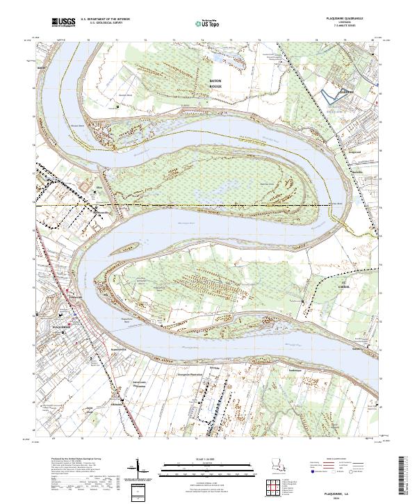
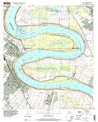
2024 Map of Plaquemine
USGS Topo · Published 2024About this map
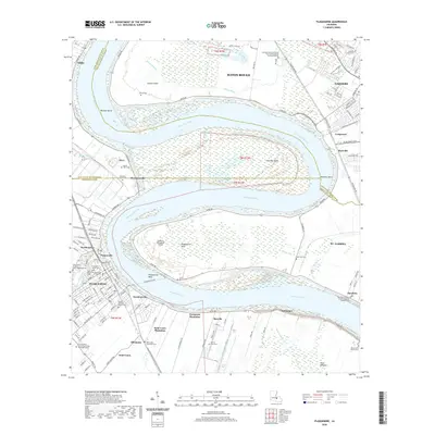
The Mississippi River winds through the heart of this region, shaping the landscape of Plaquemine and the surrounding river road communities. The map highlights the enduring presence of historic agricultural estates, including Saint Louis Plantation, Evergreen Plantation, and Allemania, each connected by the historic River Rd. These settlements, along with St. Gabriel and Seymourville, reveal a pattern of development dictated by the river's curves and floodplains. Genealogists and local historians will find significant value in the numerous burial grounds documented, such as Saint Louis Plantation Cem and the Reveille Town Cem. Civil infrastructure is represented by the Iberville Parish Courthouse and the Plaquemine Ferry, which provides a vital link across the water at Plaquemine Bend. Further north, industrial and training sites like the Louisiana State University Fire and Emergency Training Institute stand near the East Baton Rouge Parish line.
Find a feature on this map
58 named features on this map. Tap any name to fly to it.
Don’t see what you’re looking for? This feature index may not catch every label — zoom into the map to look around manually.
Map Details
Editions of this 2024 Plaquemine Map
This is the sole edition of this map. No revisions or reprints were ever made.
Historical Maps of Baton Rouge Through Time
9 maps found
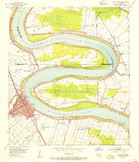
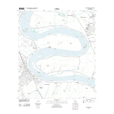
1953 Plaquemine
Iberville Parish, LA
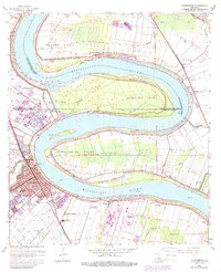
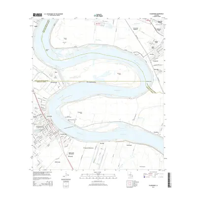
1963 Plaquemine
Iberville Parish, LA
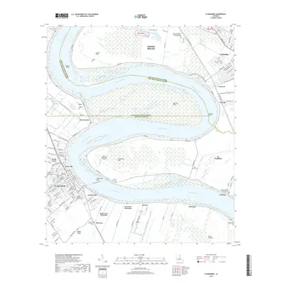
1992 Plaquemine
Iberville Parish, LA
1998 Plaquemine
Iberville Parish, LA
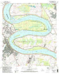
2012 Plaquemine
Iberville Parish, LA
2015 Plaquemine
Iberville Parish, LA
2018 Plaquemine
Iberville Parish, LA
2020 Plaquemine
Iberville Parish, LA
2024 Plaquemine
Iberville Parish, LA