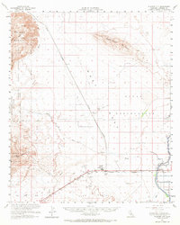
1957 Map of Plaster City
USGS Topo · Published 1960About this map
The industrial and military landscape of Imperial County is defined here by the operations at Plaster City, where a significant Gypsum Plant stands alongside the San Diego and Arizona Eastern Railroad. This desert expanse in the mid-1950s served as a critical corridor for both logistics and defense, containing the sprawling Naval Aerial Gunnery Range and a dedicated Mining Railroad stretching toward the northern mountains. Historical transit is preserved through the alignment of the Old Overland Stage Route, which cuts across the arid terrain near Superstition Mountain. To the east, the desert gives way to early agricultural infrastructure, marked by the Main Canal and the evocatively named Forget-Me-Not Drain near Dixieland. The map reveals a land of utility and transition, from the protected wilderness of Anza-Borrego Desert State Park to specialized sites like a Parachute Testing Unit and an Observation Tower.
Find a feature on this map
41 named features on this map. Tap any name to fly to it.
Don’t see what you’re looking for? This feature index may not catch every label — zoom into the map to look around manually.
Map Details
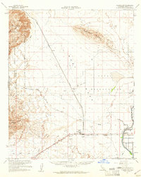
Editions of this 1957 Plaster City Map
2 editions found
Other maps of this area

1915 · El Centro
USGS Topo · 1:125,000

1931 · Vallecito
USGS Topo · 1:125,000

1931 · Carrizo
USGS Topo · 1:125,000

1939 · Jacumba
USGS Topo · 1:62,500

1940 · Brawley
USGS Topo · 1:62,500

1940 · Kane Spring
USGS Topo · 1:62,500

1940 · Heber
USGS Topo · 1:62,500

1940 · Plaster City
USGS Topo · 1:62,500

1940 · Coyote Wells
USGS Topo · 1:62,500

1942 · Barrel Spring
USGS Topo · 1:62,500