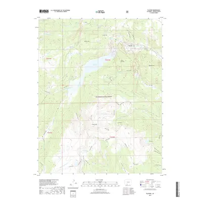
2019 Map of Platoro
USGS Topo · Published 2019About this map
Platoro sits at the northern edge of the Rio Grande National Forest, a high-elevation settlement defined by the massive Platoro Reservoir and the headwaters of the Conejos River. This 2019 survey captures the convergence of the Adams Fork Conejos River and the S Fork Conejos River, surrounded by peaks such as Klondike Mtn and Mammoth Mtn. The landscape is characterized by its alpine hydrology, featuring numerous high-altitude basins like Glacier Lake and the Twin Lakes. Access to the region is documented through routes like the Bear Lake Cutoff and crossings at Stunner Pass, while deep canyons including Cañon Diablo and Cañon Bonito carve through the terrain south of Conejos Peak. This map illustrates the vital role of the reservoir and river systems in managing water resources within the San Juan Mountains.
Find a feature on this map
56 named features on this map. Tap any name to fly to it.
Don’t see what you’re looking for? This feature index may not catch every label — zoom into the map to look around manually.
Map Details
Editions of this 2019 Platoro Map
This is the sole edition of this map. No revisions or reprints were ever made.
Other maps of this area

1913 · Summitville
USGS Topo · 1:125,000

1915 · Summitville
USGS Topo · 1:125,000

1922 · Conejos
USGS Topo · 1:125,000

1945 · Durango
USGS Topo · 1:250,000

1953 · Durango
USGS Topo · 1:250,000

1954 · Durango
USGS Topo · 1:250,000

1957 · Chama Peak
USGS Topo · 1:62,500

1961 · Durango
USGS Topo · 1:250,000

1963 · Durango
USGS Topo · 1:250,000

1966 · Durango
USGS Topo · 1:250,000