
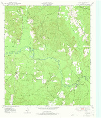
1949 Map of Platt
USGS Topo · Published 1966About this map
The Angelina River meanders across this landscape, serving as the natural boundary between Nacogdoches Co and Angelina Co. The local economy of the late 1940s is reflected in the transportation network, including the Southern Pacific railroad and the Texas and Southeastern line that serviced the timber and agricultural lands. Small communities and rural gathering points such as Platt, Poe, and the Site of Marian are interspersed among numerous creek branches, including Moccasin Creek and Carrizo Bayou.
Find a feature on this map
28 named features on this map. Tap any name to fly to it.
Don’t see what you’re looking for? This feature index may not catch every label — zoom into the map to look around manually.
Map Details
Editions of this 1949 Platt Map
Other maps of this area

1949 · Lufkin
USGS Topo · 1:62,500

1949 · Lufkin
USGS Topo · 1:24,000

1949 · Huntington
USGS Topo · 1:24,000

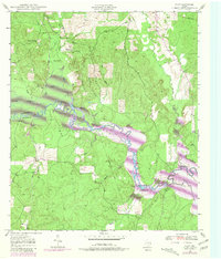
1950 · Platt
USGS Topo · 1:24,000

1950 · Lufkin
USGS Topo · 1:24,000

1950 · Redland
USGS Topo · 1:24,000

1950 · Huntington
USGS Topo · 1:24,000

1952 · Nacogdoches
USGS Topo · 1:62,500

1953 · Palestine
USGS Topo · 1:250,000

1957 · Palestine
USGS Topo · 1:250,000