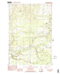
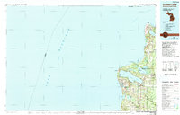
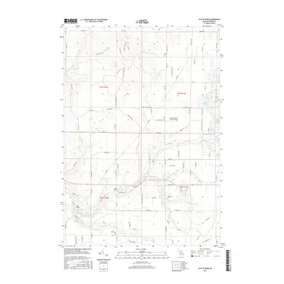
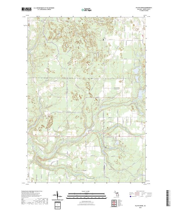
1983 Map of Platte River
USGS Topo · Published 1984About this map
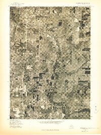
Platte River winds through the heart of Benzie County, anchoring a landscape defined by the Pere Marquette State Forest and a series of kettle lakes. In the early 1980s, this area of Northern Michigan balanced conservation and local industry, featuring the State Fish Hatchery and several rural centers like Almira. The presence of Almira Ch and Almira Cem marks the historical core of the township, while smaller settlements like Allyn and recreational spots such as Camp Chenaniah and Lake Ann Camp indicate the region's longstanding appeal for seasonal residency and youth camps.
Find a feature on this map
60 named features on this map. Tap any name to fly to it.
Don’t see what you’re looking for? This feature index may not catch every label — zoom into the map to look around manually.
Map Details
Editions of this 1983 Platte River Map
2 editions found
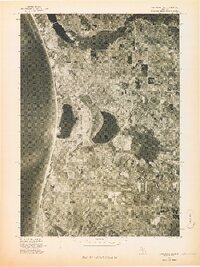
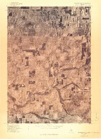
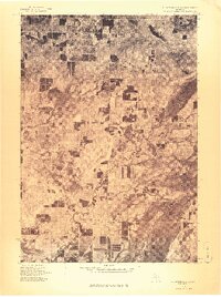
Historical Maps of Platte Township Through Time
18 maps found
1976 Frankfort NE
Benzie County, MI
1976 Frankfort NW
Benzie County, MI
1976 Frankfort SE
Benzie County, MI
1976 Frankfort SW
Benzie County, MI
1976 Thompsonville NW
Benzie County, MI
1976 Thompsonville SW
Benzie County, MI
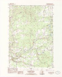
1983 Platte River
Benzie County, MI
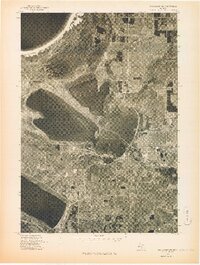
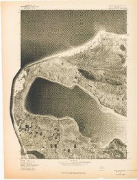
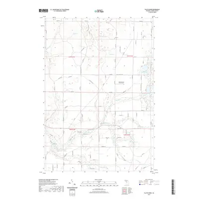
1984 Crystal Lake
Benzie County, MI
2011 Frankfort OE W
Benzie County, MI
2011 Platte River
Benzie County, MI

2014 Frankfort OE W
Benzie County, MI
2014 Platte River
Benzie County, MI
2017 Frankfort OE W
Benzie County, MI
2017 Platte River
Benzie County, MI
2019 Frankfort OE W
Benzie County, MI
2019 Platte River
Benzie County, MI
2023 Frankfort OE W
Benzie County, MI
2023 Platte River
Benzie County, MI
Featured Locations
- Platte Township, MI
- Almira Township, MI
- Homestead Township, MI
- Inland Township, MI
- Platte River, Inland Township