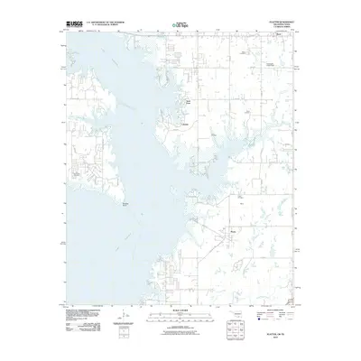
2010 Map of Platter
USGS Topo · Published 2010About this map
Lake Texoma dominates the western half of this quadrangle, its intricate shoreline defining the character of the Bryan County landscape. The map captures the developed recreational and residential fringes of the reservoir, notably around Lakeside and the prominent Sand Point. This 2010 survey is particularly valuable for genealogists, as it preserves the locations of numerous historic burial grounds that predate the reservoir's expansion or serve the established communities on its banks, including Mead Cemetery, Willis Cemetery, and Old Woodville Cemetery.
Find a feature on this map
50 named features on this map. Tap any name to fly to it.
Don’t see what you’re looking for? This feature index may not catch every label — zoom into the map to look around manually.
Map Details
Editions of this 2010 Platter Map
This is the sole edition of this map. No revisions or reprints were ever made.
Other maps of this area

1899 · Atoka
USGS Topo · 1:125,000

1900 · Atoka
USGS Topo · 1:125,000

1901 · Tishomingo
USGS Topo · 1:125,000

1901 · Denison
USGS Topo · 1:125,000

1954 · Sherman
USGS Topo · 1:250,000

1957 · Denison Dam
USGS Topo · 1:24,000

1957 · Ardmore
USGS Topo · 1:250,000

1958 · Durant
USGS Topo · 1:62,500

1958 · Denison Dam
USGS Topo · 1:62,500

1958 · Sherman
USGS Topo · 1:250,000