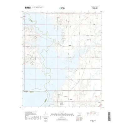
2018 Map of Platter
USGS Topo · Published 2018About this map
Lake Texoma dominates this landscape along the border of Oklahoma and Texas, where the historic Washita River channel meanders through the inundated valley. The 2018 topography shows the complex shoreline of the lake, including the prominent Washita Point and Sand Point. This area in southern Bryan County is characterized by a mix of established residential communities and recreational access points such as Catfish Bay.
Find a feature on this map
143 named features on this map. Tap any name to fly to it.
Don’t see what you’re looking for? This feature index may not catch every label — zoom into the map to look around manually.
Map Details
Editions of this 2018 Platter Map
This is the sole edition of this map. No revisions or reprints were ever made.
Other maps of this area

1899 · Atoka
USGS Topo · 1:125,000

1900 · Atoka
USGS Topo · 1:125,000

1901 · Tishomingo
USGS Topo · 1:125,000

1901 · Denison
USGS Topo · 1:125,000

1954 · Sherman
USGS Topo · 1:250,000

1957 · Denison Dam
USGS Topo · 1:24,000

1957 · Ardmore
USGS Topo · 1:250,000

1958 · Durant
USGS Topo · 1:62,500

1958 · Denison Dam
USGS Topo · 1:62,500

1958 · Sherman
USGS Topo · 1:250,000