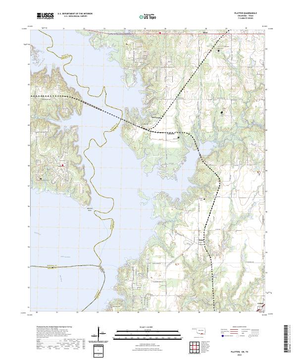
2023 Map of Platter
USGS Topo · Published 2023About this map
Lake Texoma and the Red River define this 2023 landscape along the Oklahoma-Texas border. The map documents the residential and recreational development surrounding the reservoir, where intricate road networks like Catfish Bay Way and Texoma Hills Road connect lakeside communities. Significant genealogical markers are preserved across the area, including the Old Woodville Cem near the western shore and the Willis Cem to the east.
Find a feature on this map
111 named features on this map. Tap any name to fly to it.
Don’t see what you’re looking for? This feature index may not catch every label — zoom into the map to look around manually.
Map Details
Editions of this 2023 Platter Map
This is the sole edition of this map. No revisions or reprints were ever made.
Other maps of this area

1899 · Atoka
USGS Topo · 1:125,000

1900 · Atoka
USGS Topo · 1:125,000

1901 · Tishomingo
USGS Topo · 1:125,000

1901 · Denison
USGS Topo · 1:125,000

1954 · Sherman
USGS Topo · 1:250,000

1957 · Denison Dam
USGS Topo · 1:24,000

1957 · Ardmore
USGS Topo · 1:250,000

1958 · Durant
USGS Topo · 1:62,500

1958 · Denison Dam
USGS Topo · 1:62,500

1958 · Sherman
USGS Topo · 1:250,000