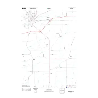
2013 Map of Platteville
USGS Topo · Published 2013About this map
The Galena River and its numerous tributaries, including Rountree Br and Blockhouse Cr, define the drainage patterns of this corner of Grant County. In the early 21st century, the landscape remains primarily agricultural, punctuated by named family operations such as Digman Farms, Labarge Farm, and Mar - Mic Farm. The city street grid at the upper left transitions into a network of county highways and rural routes connecting smaller communities like Ipswich, Bigpatch, and Elmo. The presence of the Platteville Municipal Airport and the modern configuration of Bus Hwy 151 show the infrastructure supporting this dairy and farming region. Small creek systems like Snowden Br and French Cr wind through the township, providing a detailed look at the local topography and property boundaries in the Driftless Area.
Find a feature on this map
89 named features on this map. Tap any name to fly to it.
Don’t see what you’re looking for? This feature index may not catch every label — zoom into the map to look around manually.
Map Details
Editions of this 2013 Platteville Map
This is the sole edition of this map. No revisions or reprints were ever made.
Other maps of this area

1900 · Lancaster
USGS Topo · 1:125,000

1902 · Mineral Point
USGS Topo · 1:125,000

1904 · Lancaster
USGS Topo · 1:125,000

1908 · Lancaster
USGS Topo · 1:125,000

1952 · Platteville
USGS Topo · 1:24,000

1952 · Rewey
USGS Topo · 1:24,000

1952 · Cuba City
USGS Topo · 1:24,000

1952 · Belmont
USGS Topo · 1:24,000

1952 · New Diggings
USGS Topo · 1:24,000

1952 · Mifflin
USGS Topo · 1:24,000