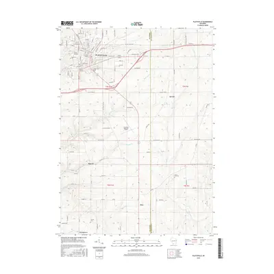
2016 Map of Platteville
USGS Topo · Published 2016About this map
Platteville serves as the primary hub of this Southwest Wisconsin landscape, dominated by the campus of the Univ of Wisconsin-Platteville. The city is defined by its grid of streets, including Market St and Main St, and is surrounded by a network of rural cemeteries like Greenwood Cem and Calvary Cem. To the south, the topography transitions into a series of smaller agricultural settlements and valley hamlets.
Find a feature on this map
98 named features on this map. Tap any name to fly to it.
Don’t see what you’re looking for? This feature index may not catch every label — zoom into the map to look around manually.
Map Details
Editions of this 2016 Platteville Map
This is the sole edition of this map. No revisions or reprints were ever made.
Other maps of this area

1900 · Lancaster
USGS Topo · 1:125,000

1902 · Mineral Point
USGS Topo · 1:125,000

1904 · Lancaster
USGS Topo · 1:125,000

1908 · Lancaster
USGS Topo · 1:125,000

1952 · Platteville
USGS Topo · 1:24,000

1952 · Rewey
USGS Topo · 1:24,000

1952 · Cuba City
USGS Topo · 1:24,000

1952 · Belmont
USGS Topo · 1:24,000

1952 · New Diggings
USGS Topo · 1:24,000

1952 · Mifflin
USGS Topo · 1:24,000