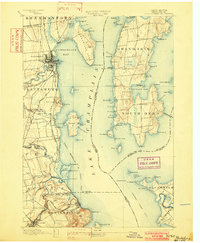
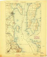
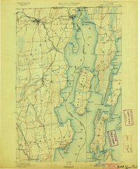
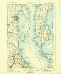
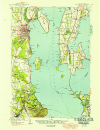
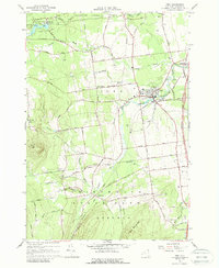
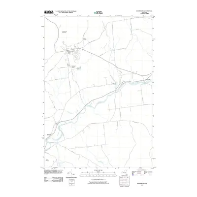
1894 Map of Plattsburg
USGS Topo · Published 1902About this map
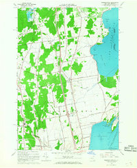
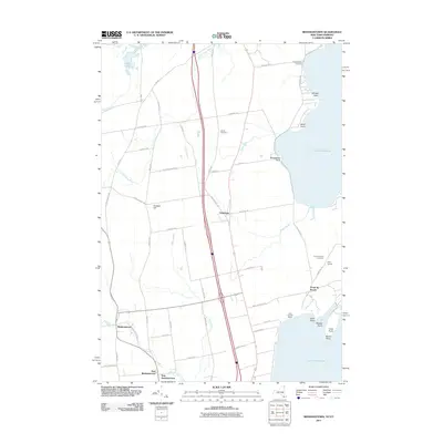
Plattsburg serves as the focal point of this late 19th-century Lake Champlain corridor, illustrating a landscape defined by maritime transit and military presence. The Plattsburg Barracks and the sprawling Hotel Champlain on the bluff south of the city highlight the area's dual role as a strategic outpost and a growing destination for travelers. Across the water, the islands of Grand Isle and South Hero are connected to the mainland via the Sand Bar Bridge, while dedicated steamer transportation routes and excursion steamer routes crisscross the lake, linking New York and Vermont ports.
Find a feature on this map
114 named features on this map. Tap any name to fly to it.
Don’t see what you’re looking for? This feature index may not catch every label — zoom into the map to look around manually.
Map Details
Editions of this 1894 Plattsburg Map
3 editions found

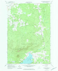
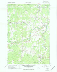
Historical Maps of Burlington Through Time
129 maps found
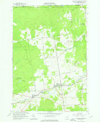
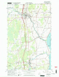
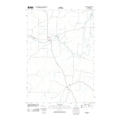
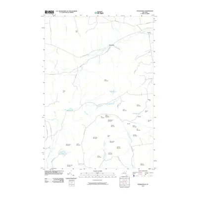
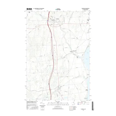
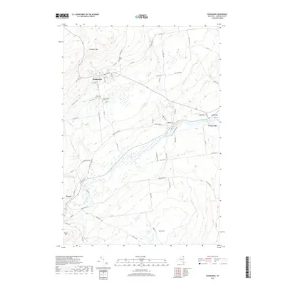
1894 Plattsburg
Clinton County, NY

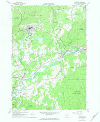
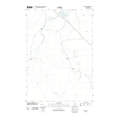
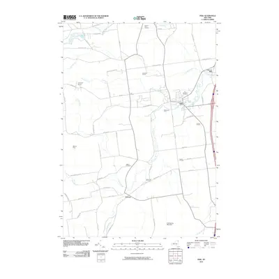
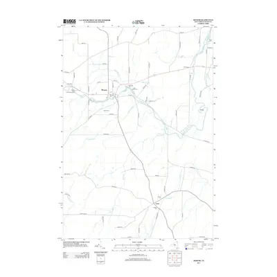
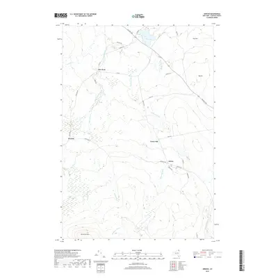
1895 Mooers
Clinton County, NY
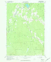
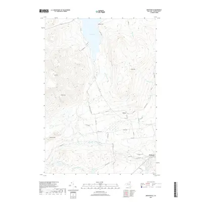
1895 Rouse Point
Clinton County, NY
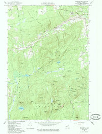
1899 Mooers
Clinton County, NY
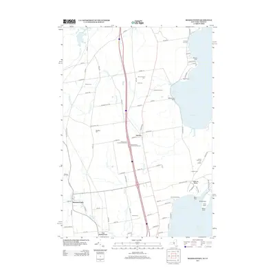
1906 Plattsburg
Clinton County, NY
1913 Dannemora
Clinton County, NY
1915 Churubusco
Clinton County, NY

1939 Plattsburg
Clinton County, NY

1941 Plattsburg
Clinton County, NY

1942 Mooers
Clinton County, NY

1943 Churubusco
Clinton County, NY
1943 Mooers
Clinton County, NY
1943 Plattsburg
Clinton County, NY
1956 Dannemora
Clinton County, NY
1956 Mooers
Clinton County, NY
1964 Churubusco
Clinton County, NY

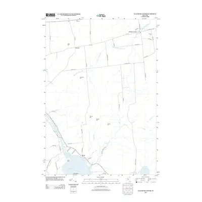
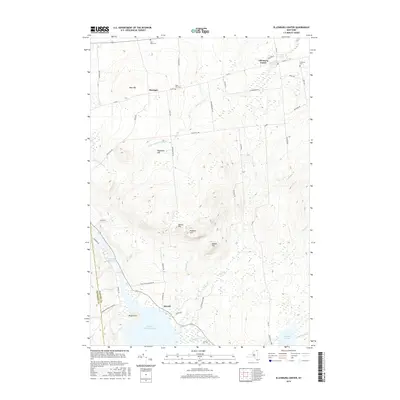
1964 Ellenburg Center
Clinton County, NY
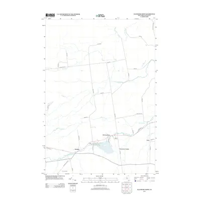
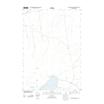
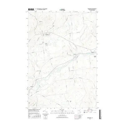
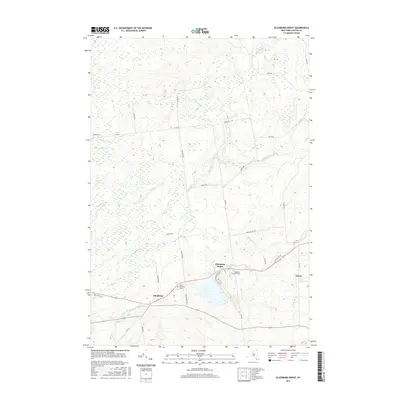
1964 Ellenburg Depot
Clinton County, NY
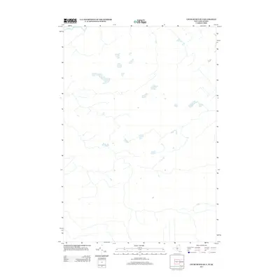
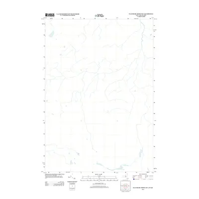
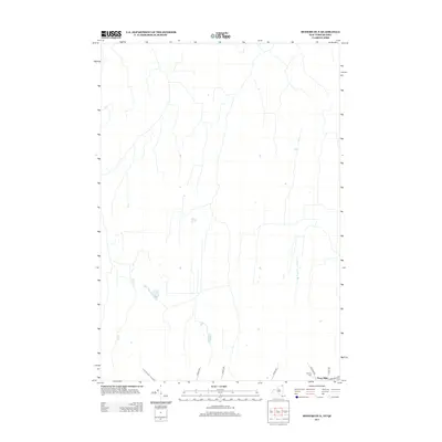
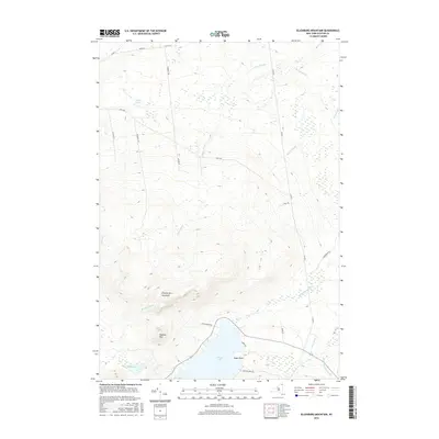
1964 Ellenburg Mountain
Clinton County, NY
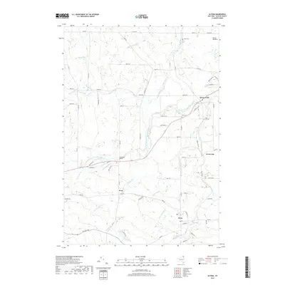
1966 Altona
Clinton County, NY
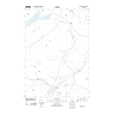
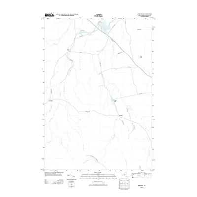
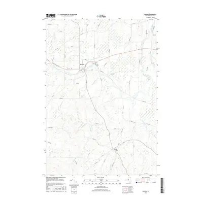
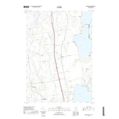
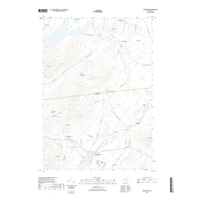
1966 Beekmantown
Clinton County, NY
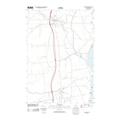
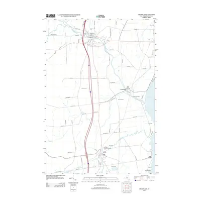
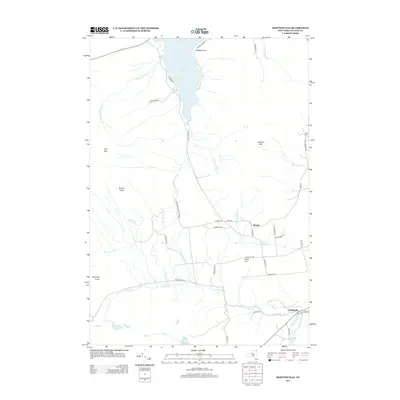
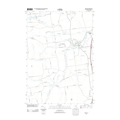
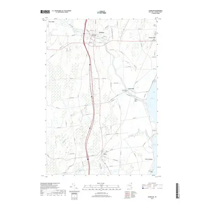
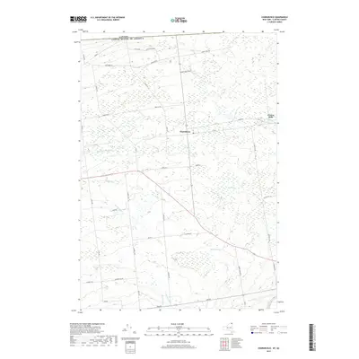
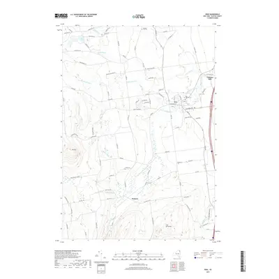
1966 Champlain
Clinton County, NY
1966 Dannemora
Clinton County, NY
1966 Jericho
Clinton County, NY

1966 Mooers
Clinton County, NY
1966 Peasleeville
Clinton County, NY
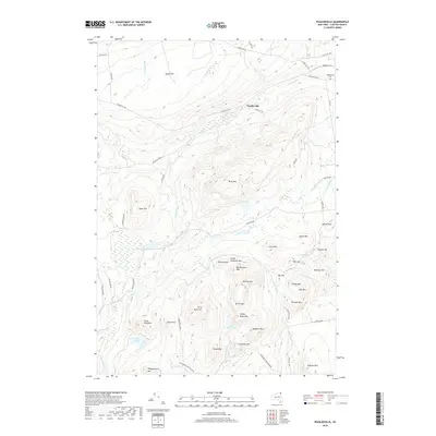
1966 Peru
Clinton County, NY

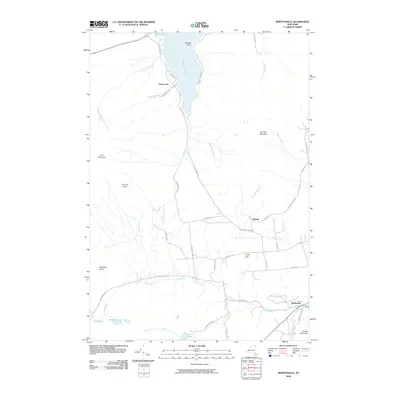
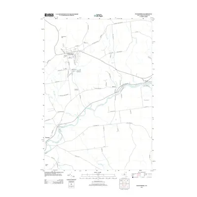
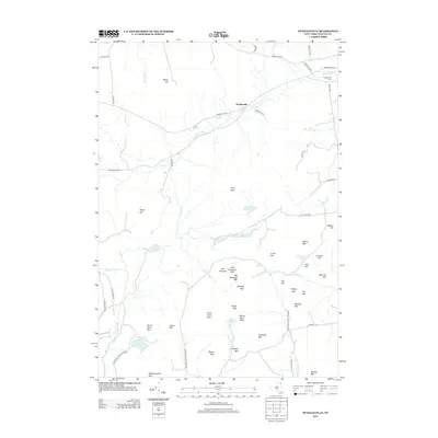
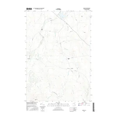
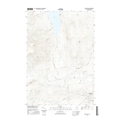
1968 Moffitsville
Clinton County, NY

1977 Cannon Corners Station
Clinton County, NY

1977 Champlain Port of Entry
Clinton County, NY

1977 Churubusco Station
Clinton County, NY
1977 East of Cannon Corners Station
Clinton County, NY

1977 Mooers Station
Clinton County, NY
1986 Lake Champlain North
Clinton County, NY
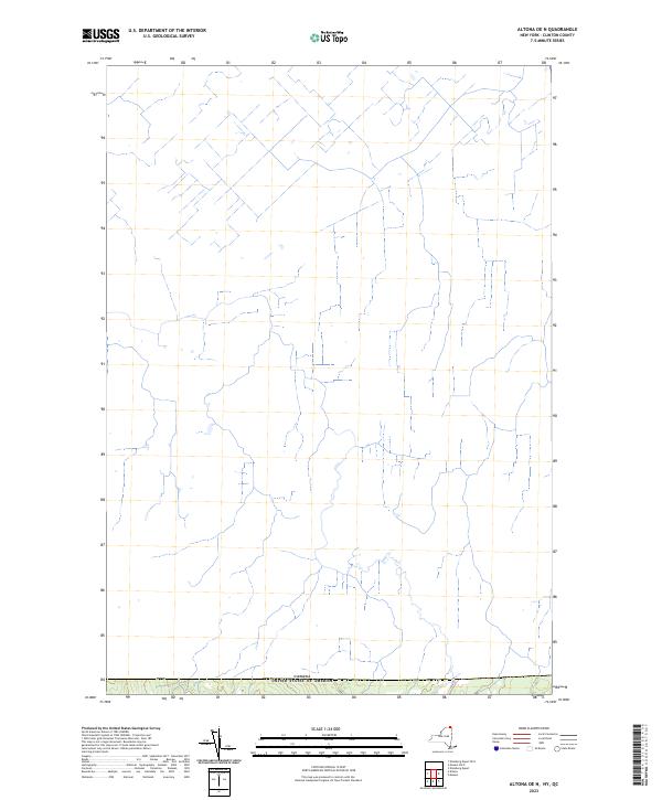
2010 Altona
Clinton County, NY
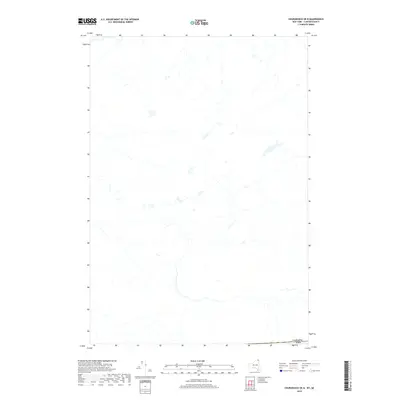
2010 Champlain
Clinton County, NY
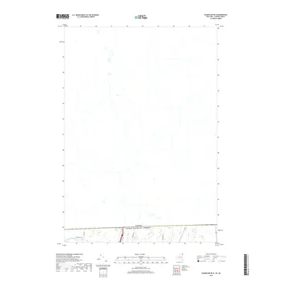
2010 Champlain OE N
Clinton County, NY
2010 Churubusco
Clinton County, NY
2010 Churubusco OE N
Clinton County, NY
2010 Dannemora
Clinton County, NY
2010 Ellenburg Center
Clinton County, NY
2010 Ellenburg Depot
Clinton County, NY
2010 Ellenburg Mountain
Clinton County, NY
2010 Jericho
Clinton County, NY
2010 Moffitsville
Clinton County, NY
2010 Mooers
Clinton County, NY
2010 Mooers OE N
Clinton County, NY
2010 Peasleeville
Clinton County, NY
2010 Peru
Clinton County, NY
2010 Wilmington
Clinton County, NY
2011 Altona OE N
Clinton County, NY
2011 Beekmantown
Clinton County, NY
2011 Ellenburg Depot OE N
Clinton County, NY
2013 Altona
Clinton County, NY
2013 Altona OE N
Clinton County, NY
2013 Beekmantown
Clinton County, NY
2013 Champlain
Clinton County, NY
2013 Champlain OE N
Clinton County, NY
2013 Churubusco
Clinton County, NY
2013 Churubusco OE N
Clinton County, NY
2013 Dannemora
Clinton County, NY
2013 Ellenburg Center
Clinton County, NY
2013 Ellenburg Depot
Clinton County, NY
2013 Ellenburg Depot OE N
Clinton County, NY
2013 Ellenburg Mountain
Clinton County, NY
2013 Jericho
Clinton County, NY
2013 Moffitsville
Clinton County, NY
2013 Mooers
Clinton County, NY
2013 Mooers OE N
Clinton County, NY
2013 Peasleeville
Clinton County, NY
2013 Peru
Clinton County, NY
2013 Wilmington
Clinton County, NY
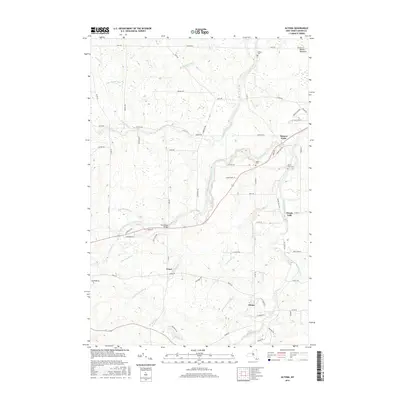
2016 Altona
Clinton County, NY
2016 Altona OE N
Clinton County, NY
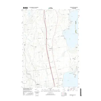
2016 Beekmantown
Clinton County, NY
2016 Champlain
Clinton County, NY
2016 Champlain OE N
Clinton County, NY
2016 Churubusco
Clinton County, NY
2016 Churubusco OE N
Clinton County, NY
2016 Dannemora
Clinton County, NY
2016 Ellenburg Center
Clinton County, NY
2016 Ellenburg Depot
Clinton County, NY
2016 Ellenburg Depot OE N
Clinton County, NY
2016 Ellenburg Mountain
Clinton County, NY
2016 Jericho
Clinton County, NY
2016 Moffitsville
Clinton County, NY
2016 Mooers
Clinton County, NY
2016 Mooers OE N
Clinton County, NY
2016 Peasleeville
Clinton County, NY
2016 Peru
Clinton County, NY
2016 Wilmington
Clinton County, NY
2019 Altona
Clinton County, NY
2019 Altona OE N
Clinton County, NY
2019 Beekmantown
Clinton County, NY
2019 Champlain
Clinton County, NY
2019 Champlain OE N
Clinton County, NY
2019 Churubusco
Clinton County, NY
2019 Churubusco OE N
Clinton County, NY
2019 Dannemora
Clinton County, NY
2019 Ellenburg Center
Clinton County, NY
2019 Ellenburg Depot
Clinton County, NY
2019 Ellenburg Depot OE N
Clinton County, NY
2019 Ellenburg Mountain
Clinton County, NY
2019 Jericho
Clinton County, NY
2019 Moffitsville
Clinton County, NY
2019 Mooers
Clinton County, NY
2019 Mooers OE N
Clinton County, NY
2019 Peasleeville
Clinton County, NY
2019 Peru
Clinton County, NY
2019 Wilmington
Clinton County, NY

2023 Altona
Clinton County, NY
2023 Altona OE N
Clinton County, NY

2023 Beekmantown
Clinton County, NY

2023 Champlain
Clinton County, NY
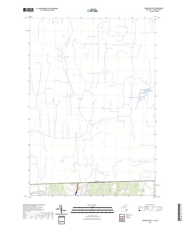
2023 Champlain OE N
Clinton County, NY

2023 Churubusco
Clinton County, NY
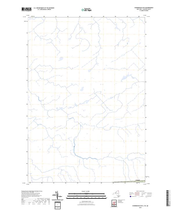
2023 Churubusco OE N
Clinton County, NY

2023 Dannemora
Clinton County, NY

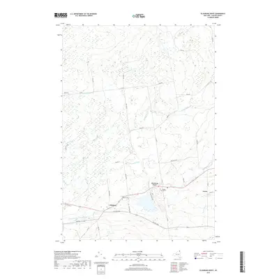
2023 Ellenburg Center
Clinton County, NY

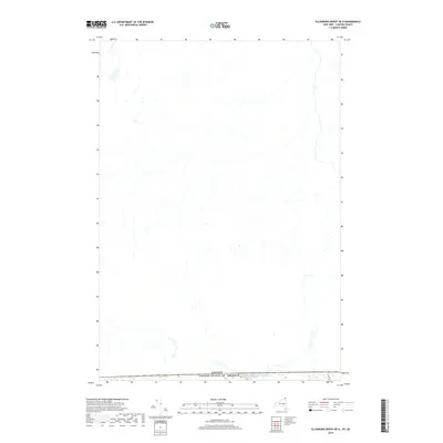
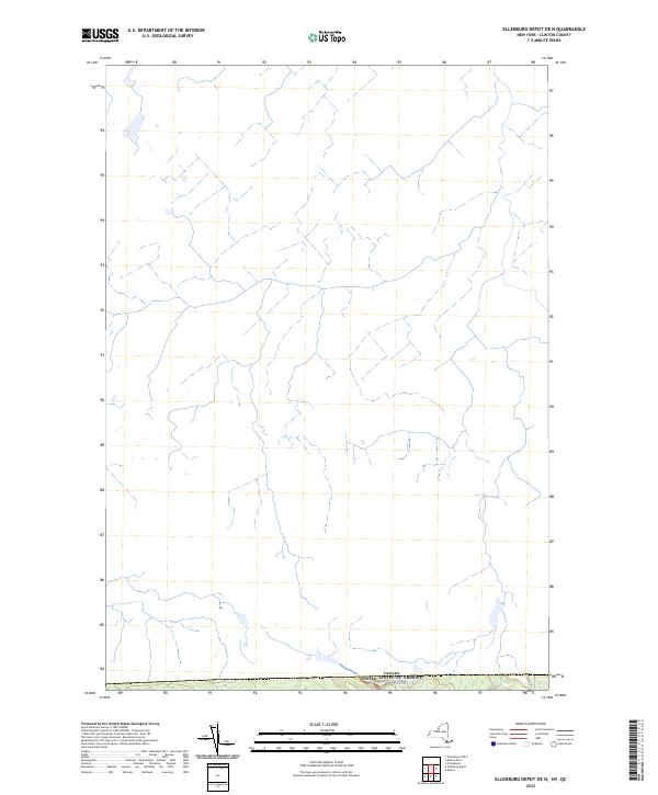
2023 Ellenburg Depot
Clinton County, NY
2023 Ellenburg Depot OE N
Clinton County, NY

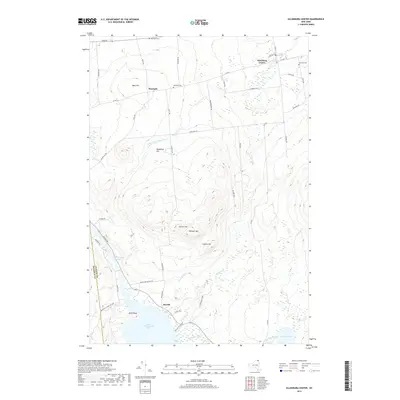
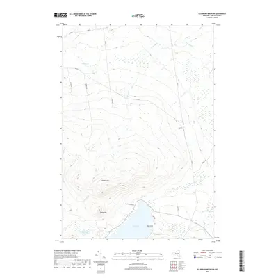
2023 Ellenburg Mountain
Clinton County, NY

2023 Jericho
Clinton County, NY

2023 Moffitsville
Clinton County, NY

2023 Mooers
Clinton County, NY

2023 Mooers OE N
Clinton County, NY

2023 Peasleeville
Clinton County, NY

2023 Peru
Clinton County, NY

2023 Wilmington
Clinton County, NY