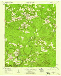
1956 Map of Pleasant Hill
USGS Topo · Published 1958About this map
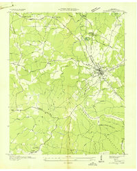
The Cumberland Plateau landscape around the mid-1950s is defined by a series of isolated knobs and deep hollows, where small settlements like Pleasant Hill and Browntown developed along the ridges. The southern portion of the map near the Cumberland Co White Co line highlights an area of concentrated local activity, including Todd Town, Erasmus, and the industrial footprint of Clifty. This region is heavily dissected by the Caney Fork and its various tributaries, creating a geography that dictated the placement of early infrastructure like the West Mill.
Find a feature on this map
63 named features on this map. Tap any name to fly to it.
Don’t see what you’re looking for? This feature index may not catch every label — zoom into the map to look around manually.
Map Details
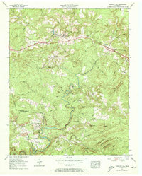
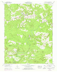
Editions of this 1956 Pleasant Hill Map
3 editions found
Other maps of this area

1892 · Pikeville
USGS Topo · 1:125,000

1895 · Pikeville
USGS Topo · 1:125,000

1897 · Standingstone
USGS Topo · 1:125,000

1898 · Standingstone
USGS Topo · 1:125,000

1912 · Crossville
USGS Topo · 1:62,500

1935 · Isoline
USGS Topo · 1:24,000

1935 · Campbell Junction
USGS Topo · 1:24,000
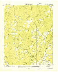
1935 · Vandever
USGS Topo · 1:24,000
1936 · Crossville
USGS Topo · 1:24,000

1943 · Cookeville
USGS Topo · 1:100,000