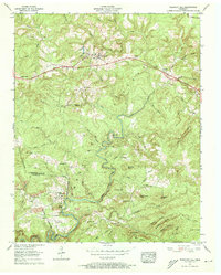
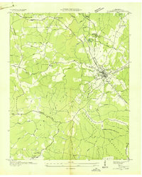
1956 Map of Pleasant Hill
USGS Topo · Published 1973About this map
The Cumberland Plateau terrain defines this portion of the Tennessee highlands, where the Tennessee Central RR snakes across the high ground toward Claysville. The landscape is a network of small upland settlements and family-named knobs, with the America Highway providing a primary east-west artery through Pleasant Hill. In the southern reaches, the descent into the Caney Fork drainage is marked by steep hollows like Dark Hollow Creek and Crooked Creek, creating a distinct separation between the plateau communities and the river valley below.
Find a feature on this map
74 named features on this map. Tap any name to fly to it.
Don’t see what you’re looking for? This feature index may not catch every label — zoom into the map to look around manually.
Map Details
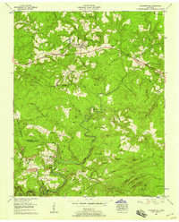
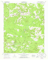
Editions of this 1956 Pleasant Hill Map
3 editions found
Other maps of this area

1892 · Pikeville
USGS Topo · 1:125,000

1895 · Pikeville
USGS Topo · 1:125,000

1897 · Standingstone
USGS Topo · 1:125,000

1898 · Standingstone
USGS Topo · 1:125,000

1912 · Crossville
USGS Topo · 1:62,500

1935 · Isoline
USGS Topo · 1:24,000

1935 · Campbell Junction
USGS Topo · 1:24,000
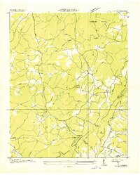
1935 · Vandever
USGS Topo · 1:24,000
1936 · Crossville
USGS Topo · 1:24,000

1943 · Cookeville
USGS Topo · 1:100,000