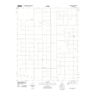
2010 Map of Pleasant Hill
USGS Topo · Published 2010About this map
Pleasant Hill anchors this High Plains agricultural landscape, situated just west of the New Mexico-Texas border. The area is defined by a rigorous grid of section-line roads, including State Line Rd, which separates Curry County from its eastern neighbors. The terrain is marked by seasonal drainages such as Mustang Draw and Running Water Draw, which provide natural relief to the otherwise geometric layout of farmland. These draws were historically significant as corridors for movement and water in an arid environment.
Find a feature on this map
40 named features on this map. Tap any name to fly to it.
Don’t see what you’re looking for? This feature index may not catch every label — zoom into the map to look around manually.
Map Details
Editions of this 2010 Pleasant Hill Map
This is the sole edition of this map. No revisions or reprints were ever made.
Other maps of this area

1954 · Clovis
USGS Topo · 1:250,000

1957 · Clovis
USGS Topo · 1:62,500

1957 · Pleasant Hill
USGS Topo · 1:62,500

1958 · Clovis
USGS Topo · 1:250,000

1963 · Oklahoma Lane
USGS Topo · 1:24,000

1965 · Bovina
USGS Topo · 1:24,000

1965 · Rhea
USGS Topo · 1:24,000

1985 · Pleasant Hill NW
USGS Topo · 1:24,000

1985 · Muleshoe
USGS Topo · 1:100,000

1985 · Pleasant Hill
USGS Topo · 1:24,000