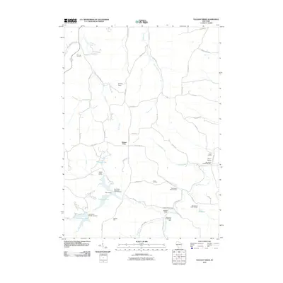
2010 Map of Pleasant Ridge
USGS Topo · Published 2010About this map
Wyoming Cemetery and several other family burial grounds characterize this rural Wisconsin landscape, reflecting the long-established farming communities of Iowa County. The settlement at Pleasant Ridge sits atop a rise overlooking a network of narrow valleys and creeks, including Rush Creek and Lowery Creek. This 2010 survey highlights a significant focus on water management and conservation, as evidenced by a series of engineered structures such as the Twin Parks 3 Dam and the Cox Hollow Number One Dam. These reservoirs, including Cox Hollow Lake and Twin Valley Lake, have reshaped the local drainage of Mill Creek, creating recreation areas alongside traditional landmarks like Bunker Hill. The map meticulously preserves the naming of local hollows and ridges, such as Yagers Hollow, which continue to define the geography of the Pleasant Valley area.
Find a feature on this map
54 named features on this map. Tap any name to fly to it.
Don’t see what you’re looking for? This feature index may not catch every label — zoom into the map to look around manually.
Map Details
Editions of this 2010 Pleasant Ridge Map
This is the sole edition of this map. No revisions or reprints were ever made.
Other maps of this area

1902 · Mineral Point
USGS Topo · 1:125,000

1905 · Richland Center
USGS Topo · 1:125,000

1920 · Blue Mounds
USGS Topo · 1:62,500

1922 · Blue Mounds
USGS Topo · 1:62,500

1923 · Blanchardville
USGS Topo · 1:62,500

1952 · Dodgeville
USGS Topo · 1:24,000

1954 · Rockford
USGS Topo · 1:250,000

1955 · Rockford
USGS Topo · 1:250,000

1957 · Madison
USGS Topo · 1:250,000

1958 · Rockford
USGS Topo · 1:250,000