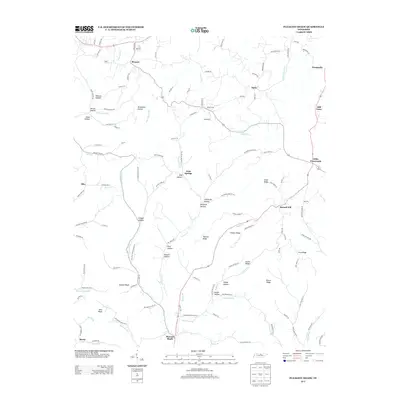
2013 Map of Pleasant Shade
USGS Topo · Published 2013About this map
Pleasant Shade anchors this Tennessee landscape where the winding waters of Peyton Creek and Boston Branch meet. The terrain is defined by a dense network of hollows and ridges, reflecting a settlement pattern deeply tied to the narrow valleys and upland spans of Macon County. Small communities like Mill-Town, Gibbs Crossroads, and Prosperity are linked by rural roads that trace the natural contours of the land, such as Hesson Ridge and Austin Ridge. Notable landmarks like Mutton Bluff and Alex Bluff overlook the creek beds, while numerous family-named hollows including Shrum Hollow, Russell Hollow, and California Hollow indicate the generational history of the local families who established homesteads along these drainages. The map captures a moment in the early 21st century where the traditional agricultural layout remains visible through the placement of these named clusters and the persistence of tributary names like Dark Shrum Branch and Little Peyton Creek.
Find a feature on this map
127 named features on this map. Tap any name to fly to it.
Don’t see what you’re looking for? This feature index may not catch every label — zoom into the map to look around manually.
Map Details
Editions of this 2013 Pleasant Shade Map
This is the sole edition of this map. No revisions or reprints were ever made.
Other maps of this area

1931 · Lafayette
USGS Topo · 1:62,500

1931 · Red Boiling Springs
USGS Topo · 1:62,500

1932 · Carthage
USGS Topo · 1:62,500

1956 · Corbin
USGS Topo · 1:250,000

1956 · Nashville
USGS Topo · 1:250,000

1958 · Corbin
USGS Topo · 1:250,000

1958 · Dixon Springs
USGS Topo · 1:24,000
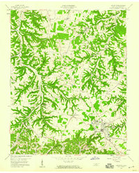
1958 · Lafayette
USGS Topo · 1:24,000

1959 · Nashville
USGS Topo · 1:250,000
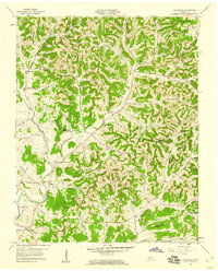
1959 · Hillsdale
USGS Topo · 1:24,000