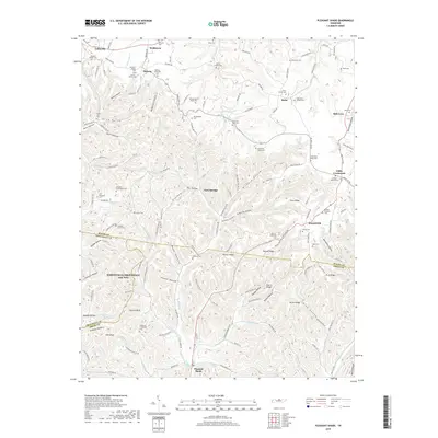
2019 Map of Pleasant Shade
USGS Topo · Published 2019About this map
Peyton Cr and its many tributaries, including Little Peyton Cr and Boston Br, carve a complex network of ridges and hollows across this rural Tennessee landscape. The terrain is defined by prominent elevations such as Thomas Ridge, Hesson Ridge, and Austin Ridge, which separate deep-cut valleys like Shrum Hollow and California Hollow. Small crossroads and settlements such as Pleasant Shade, Webbtown, and Gibbs Crossroads anchor the community, connected by winding routes like Carthage Rd.
Find a feature on this map
149 named features on this map. Tap any name to fly to it.
Don’t see what you’re looking for? This feature index may not catch every label — zoom into the map to look around manually.
Map Details
Editions of this 2019 Pleasant Shade Map
This is the sole edition of this map. No revisions or reprints were ever made.
Other maps of this area
1931 · Lafayette
USGS Topo · 1:62,500
1931 · Red Boiling Springs
USGS Topo · 1:62,500
1932 · Carthage
USGS Topo · 1:62,500
1956 · Corbin
USGS Topo · 1:250,000

1956 · Nashville
USGS Topo · 1:250,000
1958 · Corbin
USGS Topo · 1:250,000
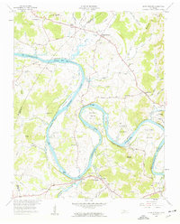
1958 · Dixon Springs
USGS Topo · 1:24,000
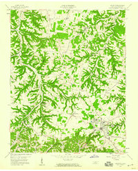
1958 · Lafayette
USGS Topo · 1:24,000
1959 · Nashville
USGS Topo · 1:250,000
1959 · Hillsdale
USGS Topo · 1:24,000