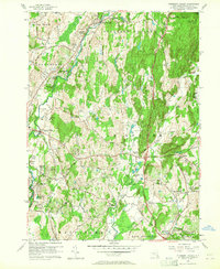
1957 Map of Pleasant Valley
USGS Topo · Published 1965About this map
Wappinger Creek flows through the heart of this mid-century Dutchess County landscape, anchoring a network of small residential heights and agrarian crossroads. The settlement pattern of the late 1950s is clearly visible, from established hubs like Pleasant Valley and Lagrangeville to growing neighborhoods such as Colonial Heights and Timothy Heights. For the local historian, the map preserves the location of rural infrastructure like the Moores Mill site and the winding course of the Old Railroad Grade in the east. Social centers of the era are well-documented, including the Drive-in Theater near Manchester Bridge and the sprawling acreage of James Baird State Park. Educational and spiritual foundations are noted through numerous landmarks like Overlook Sch, Beth-El Ch, and several local cemeteries, providing a detailed record of community life before the full expansion of the Poughkeepsie suburbs.
Find a feature on this map
56 named features on this map. Tap any name to fly to it.
Don’t see what you’re looking for? This feature index may not catch every label — zoom into the map to look around manually.
Map Details
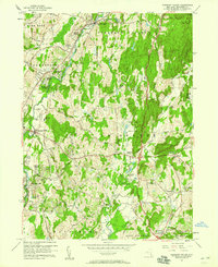
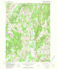
Editions of this 1957 Pleasant Valley Map
3 editions found
Other maps of this area

1893 · Clove
USGS Topo · 1:62,500

1893 · Poughkeepsie
USGS Topo · 1:62,500

1894 · Clove
USGS Topo · 1:62,500

1894 · Poughkeepsie
USGS Topo · 1:62,500

1898 · Clove
USGS Topo · 1:62,500

1898 · Rhinebeck
USGS Topo · 1:62,500

1899 · Millbrook
USGS Topo · 1:62,500

1901 · Clove
USGS Topo · 1:62,500

1902 · Millbrook
USGS Topo · 1:62,500

1903 · Poughkeepsie
USGS Topo · 1:62,500