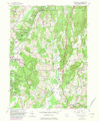
1957 Map of Pleasant Valley
USGS Topo · Published 1982About this map
Wappinger Creek flows through a landscape of evolving residential developments and historic rural hamlets in this mid-century survey of Dutchess County. The area east of Poughkeepsie shows significant suburban growth in neighborhoods like Colonial Heights and MacDonnell Heights, yet maintains its agricultural roots in outlying settlements such as Noxon and Billings. Transportation corridors are a defining element of the region, featuring the prominent Taconic State Parkway and various crossings like Stringham Bridge. The presence of an Old Railroad Grade and the Conrail line reveals the area's industrial transit history alongside newer recreational spaces like James Baird State Park. For the family researcher, the map preserves the locations of vital community institutions, including Beth-El Cem and the LaGrange School, providing a spatial record of the local social fabric before late-20th-century expansion.
Find a feature on this map
73 named features on this map. Tap any name to fly to it.
Don’t see what you’re looking for? This feature index may not catch every label — zoom into the map to look around manually.
Map Details
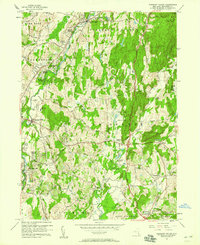
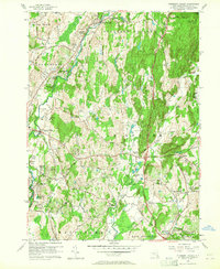
Editions of this 1957 Pleasant Valley Map
3 editions found
Other maps of this area

1893 · Clove
USGS Topo · 1:62,500

1893 · Poughkeepsie
USGS Topo · 1:62,500

1894 · Clove
USGS Topo · 1:62,500

1894 · Poughkeepsie
USGS Topo · 1:62,500

1898 · Clove
USGS Topo · 1:62,500

1898 · Rhinebeck
USGS Topo · 1:62,500

1899 · Millbrook
USGS Topo · 1:62,500

1901 · Clove
USGS Topo · 1:62,500

1902 · Millbrook
USGS Topo · 1:62,500

1903 · Poughkeepsie
USGS Topo · 1:62,500