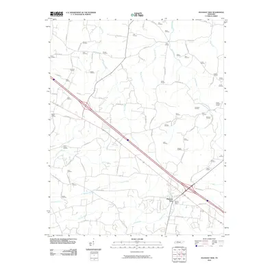
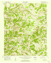
2010 Map of Pleasant View
USGS Topo · Published 2010About this map
Pleasant View serves as the primary hub of this area, situated at the intersection of modern transportation corridors and historic routes like the Old Clarksville Pike. The landscape is defined by an extensive network of small family and community burial grounds, reflecting the deep-rooted genealogical heritage of the region. Dozens of these sites, such as the Heads Cemetery, Luter Cemetery, and Esther Jackson Cemetery, are scattered across the terrain, often located near the headwaters of local streams like Brush Creek and Half Pone Creek.
Find a feature on this map
89 named features on this map. Tap any name to fly to it.
Don’t see what you’re looking for? This feature index may not catch every label — zoom into the map to look around manually.
Map Details
Editions of this 2010 Pleasant View Map
This is the sole edition of this map. No revisions or reprints were ever made.
Other maps of this area

1903 · Nashville
USGS Topo · 1:125,000
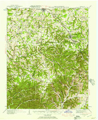
1931 · Ridgetop
USGS Topo · 1:62,500
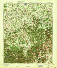
1935 · Ridgetop
USGS Topo · 1:62,500
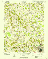
1952 · Springfield North
USGS Topo · 1:24,000
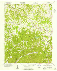
1955 · Forest Grove
USGS Topo · 1:24,000

1956 · Nashville
USGS Topo · 1:250,000
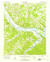
1957 · Cheatham Dam
USGS Topo · 1:24,000
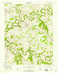
1957 · Adams
USGS Topo · 1:24,000
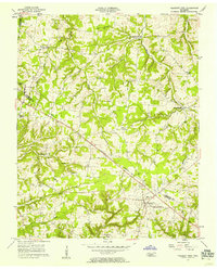
1957 · Pleasant View
USGS Topo · 1:24,000
1957 · Henrietta
USGS Topo · 1:24,000