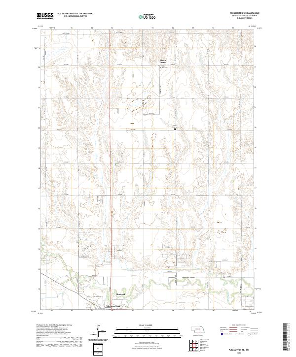
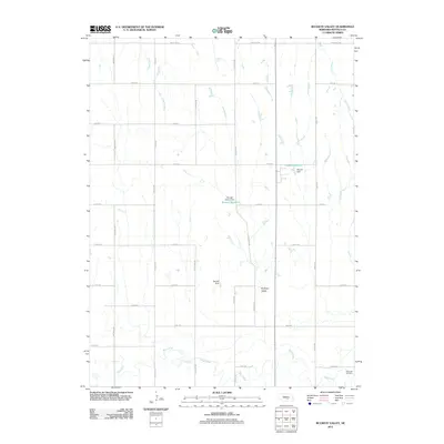
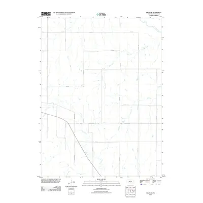
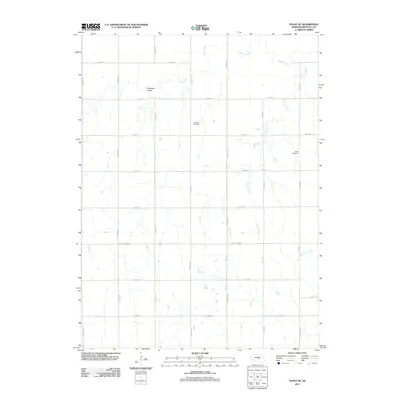
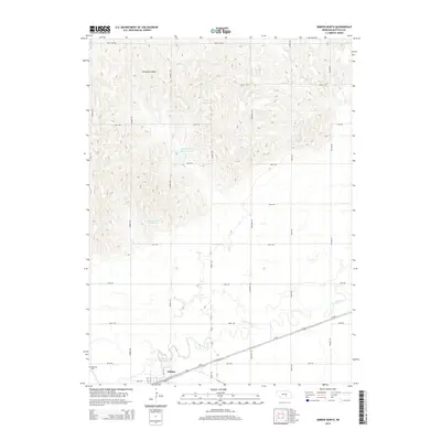
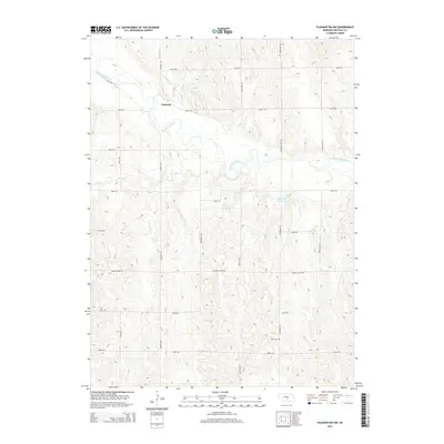
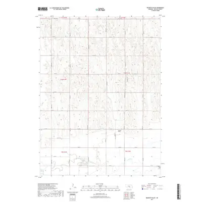
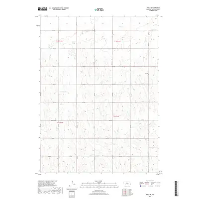
2021 Map of Pleasanton SE
USGS Topo · Published 2021About this map
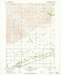
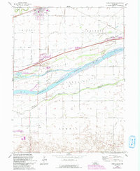
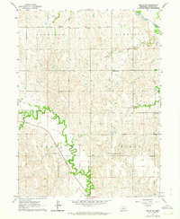
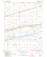
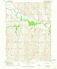
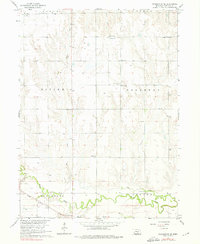
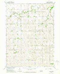
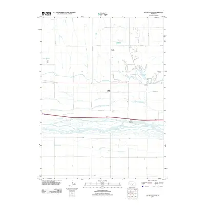
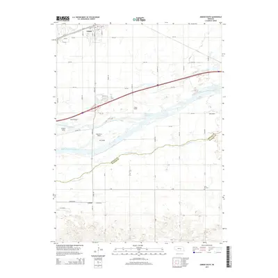
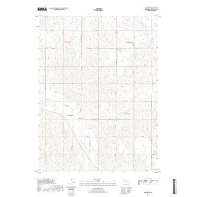
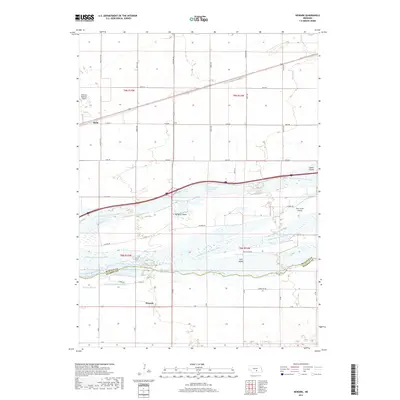
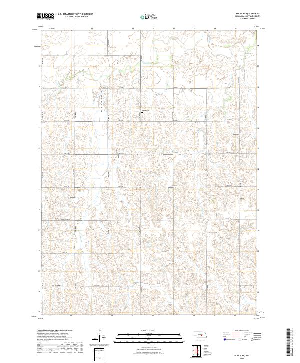
Prairie Center serves as a central anchor for this part of Buffalo County, where the agricultural grid is etched into the landscape along the intermittent drainage of Dry Cr. The map reveals a community structured around long-established section lines, with cemeteries like Saint Mary Cem and Prairie Center Cem providing important touchstones for local genealogy and land-use history. Toward the southern edge of the survey, the terrain transitions as it nears the Wood River, with more concentrated residential developments appearing at Glenwood and Glenwood Park. This detailed modern survey documents the persistent rural character of the Nebraska plains, where named thoroughfares like Homestead Rd and Pole Line Rd trace the path of 19th-century settlement into the 21st century.
Find a feature on this map
44 named features on this map. Tap any name to fly to it.
Don’t see what you’re looking for? This feature index may not catch every label — zoom into the map to look around manually.
Map Details
Editions of this 2021 Pleasanton SE Map
This is the sole edition of this map. No revisions or reprints were ever made.
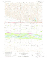
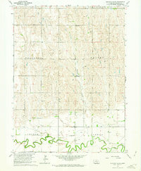
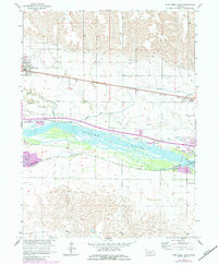
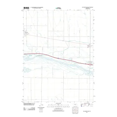
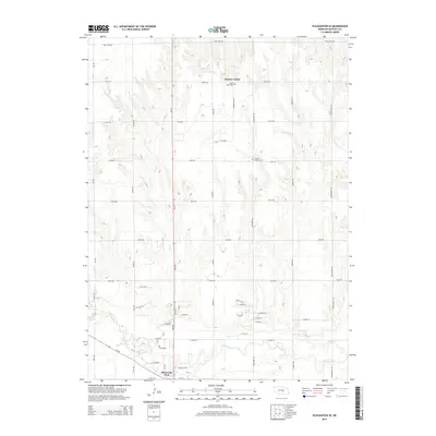
Historical Maps of Glenwood Park Through Time
50 maps found
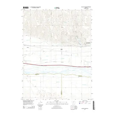
1962 Alfalfa Center
Buffalo County, NE
1962 Buckeye Valley
Buffalo County, NE
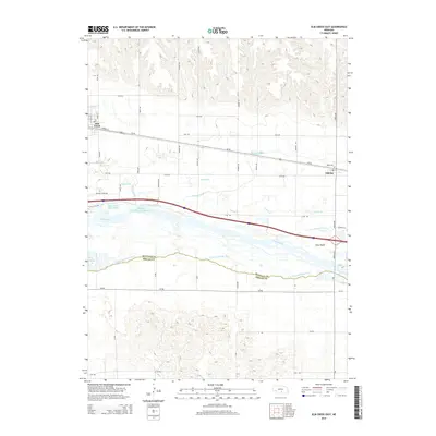
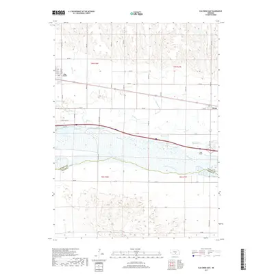
1962 Elm Creek East
Buffalo County, NE
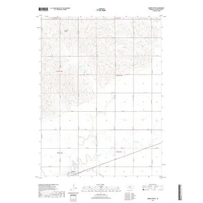
1962 Gibbon North
Buffalo County, NE
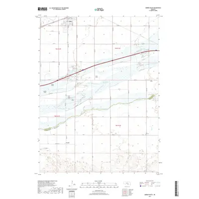
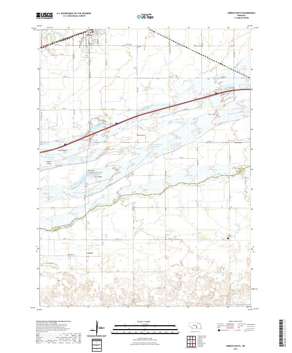
1962 Gibbon South
Buffalo County, NE
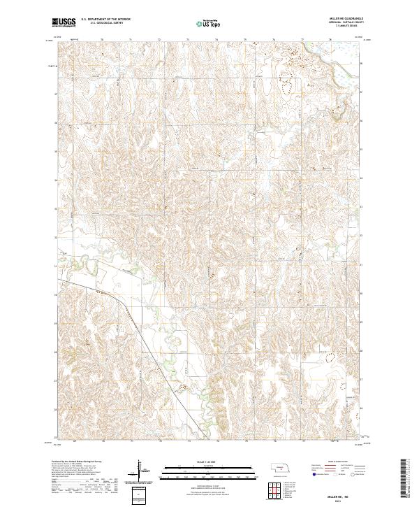
1962 Miller NE
Buffalo County, NE
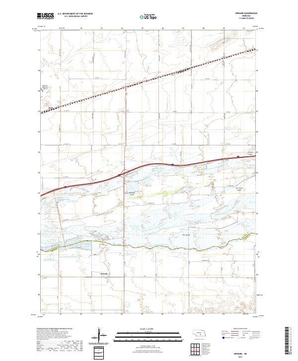
1962 Newark
Buffalo County, NE
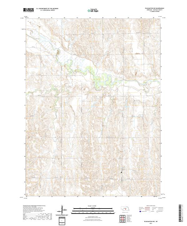
1962 Pleasanton NW
Buffalo County, NE
1962 Pleasanton SE
Buffalo County, NE
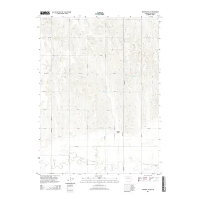
1962 Poole NE
Buffalo County, NE
2011 Alfalfa Center
Buffalo County, NE
2011 Buckeye Valley
Buffalo County, NE
2011 Elm Creek East
Buffalo County, NE
2011 Gibbon North
Buffalo County, NE
2011 Gibbon South
Buffalo County, NE
2011 Miller NE
Buffalo County, NE
2011 Newark
Buffalo County, NE
2011 Pleasanton NW
Buffalo County, NE
2011 Pleasanton SE
Buffalo County, NE
2011 Poole NE
Buffalo County, NE
2014 Alfalfa Center
Buffalo County, NE
2014 Buckeye Valley
Buffalo County, NE
2014 Elm Creek East
Buffalo County, NE
2014 Gibbon North
Buffalo County, NE
2014 Gibbon South
Buffalo County, NE
2014 Miller NE
Buffalo County, NE
2014 Newark
Buffalo County, NE
2014 Pleasanton NW
Buffalo County, NE
2014 Pleasanton SE
Buffalo County, NE
2014 Poole NE
Buffalo County, NE
2017 Alfalfa Center
Buffalo County, NE
2017 Buckeye Valley
Buffalo County, NE
2017 Elm Creek East
Buffalo County, NE
2017 Gibbon North
Buffalo County, NE
2017 Gibbon South
Buffalo County, NE
2017 Miller NE
Buffalo County, NE
2017 Newark
Buffalo County, NE
2017 Pleasanton NW
Buffalo County, NE
2017 Pleasanton SE
Buffalo County, NE
2017 Poole NE
Buffalo County, NE
2021 Alfalfa Center
Buffalo County, NE
2021 Buckeye Valley
Buffalo County, NE
2021 Elm Creek East
Buffalo County, NE

2021 Gibbon North
Buffalo County, NE
2021 Gibbon South
Buffalo County, NE
2021 Miller NE
Buffalo County, NE
2021 Newark
Buffalo County, NE
2021 Pleasanton NW
Buffalo County, NE
2021 Pleasanton SE
Buffalo County, NE
2021 Poole NE
Buffalo County, NE